
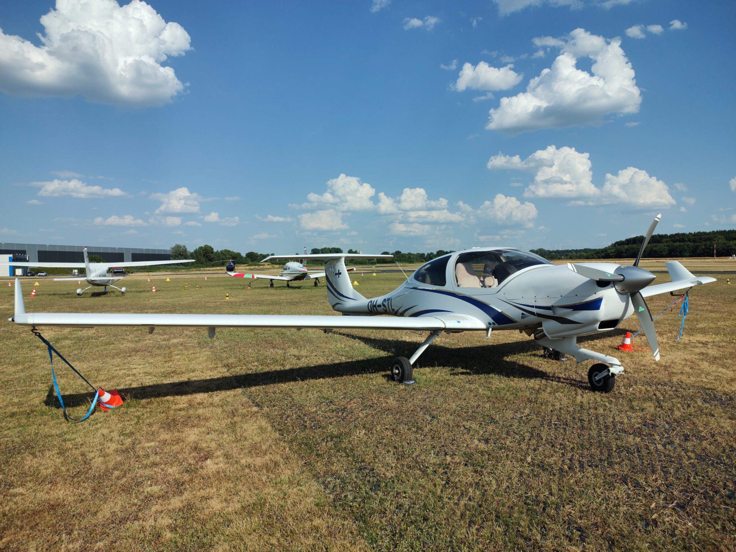
In 2023, STL returned to service after 1.5 years in maintenance. With an excellent brand new Austro engine, the MIK club members decided to organise a 2 week trip, taking the plane as far as Corsica and Greece. Different legs of the tour were flown with different crews and by different pilots. I will cover my trip to return STL from Venice to Finland.
You can read a report about an earlier leg (from Berlin to Venice) of the trip here. (in Finnish)
To access full sized images, please click on them!
DAY 1 – Italy, Austria, Czech Republic
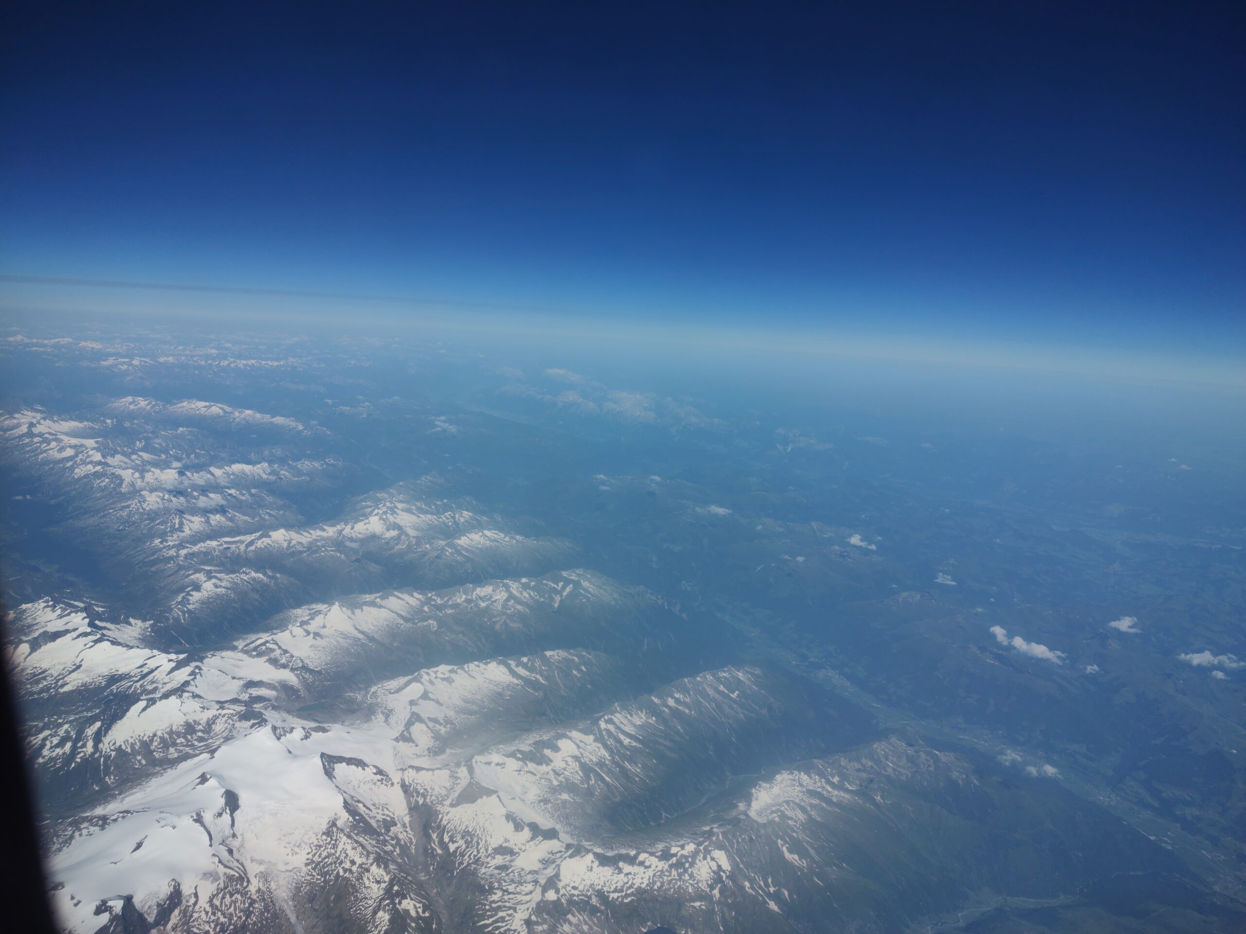
I started early in the morning by taking a commercial flight out to Venice. From the window seat, I could see promising VFR weather over the eastern Alps. After getting off the commercial flight, I got a short tour of the old gem of the Adriatic on the way to the Lido airport.
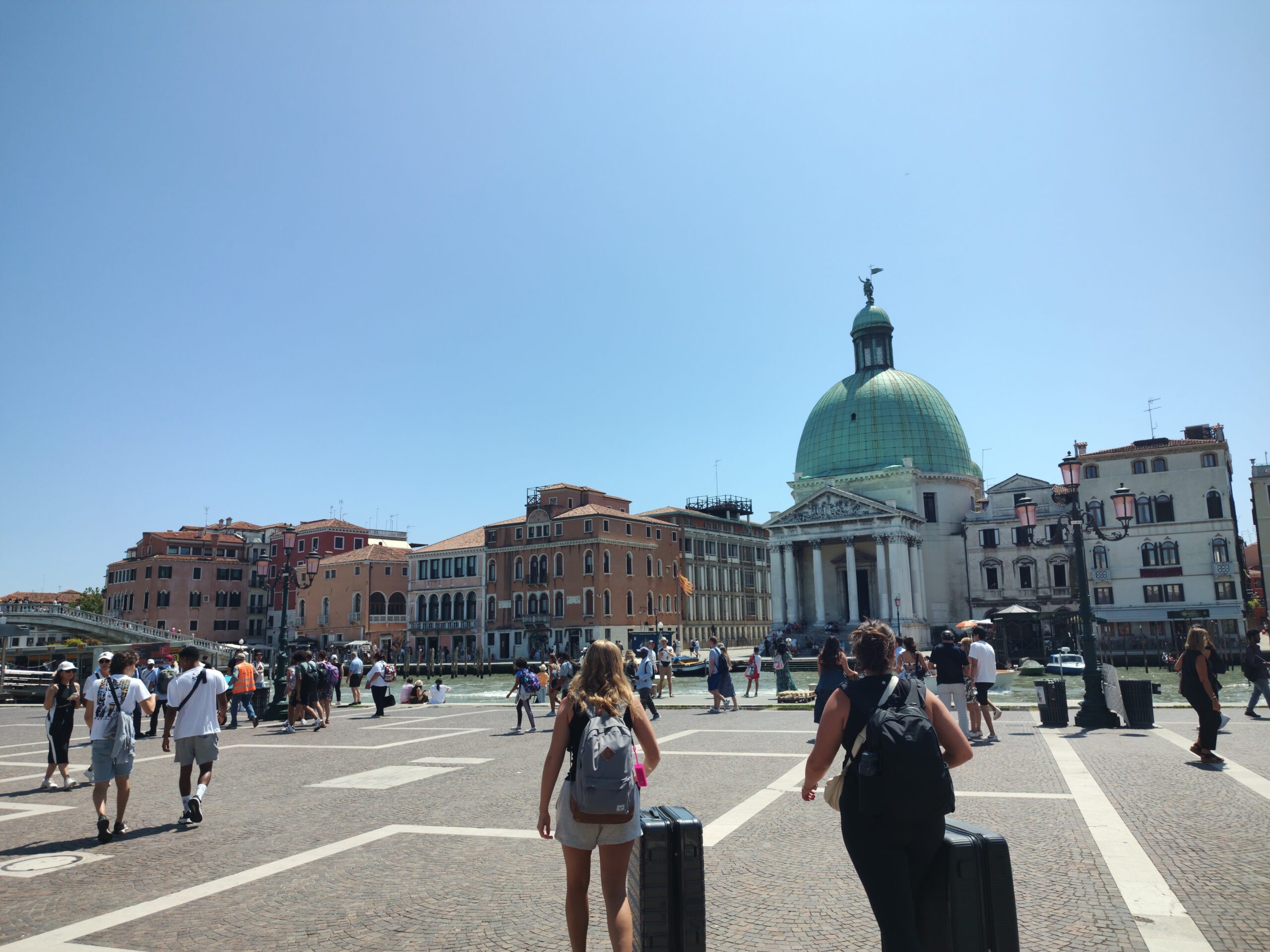
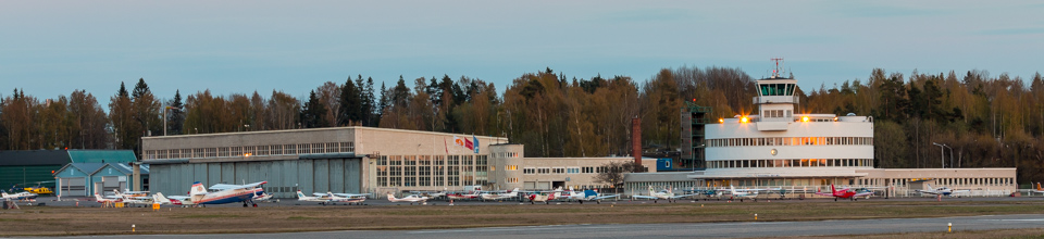
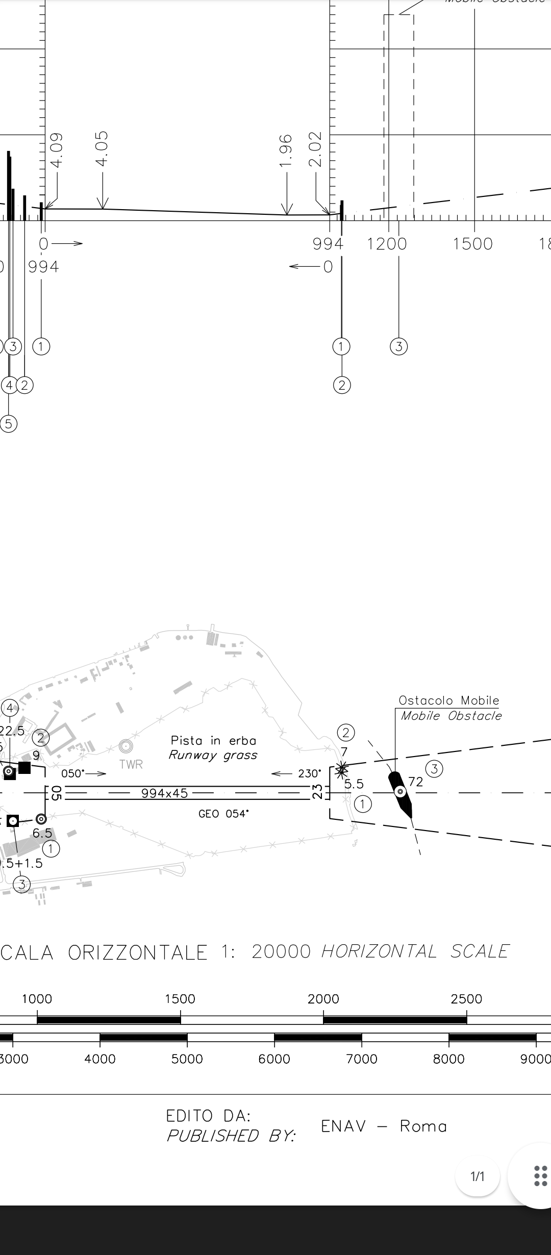
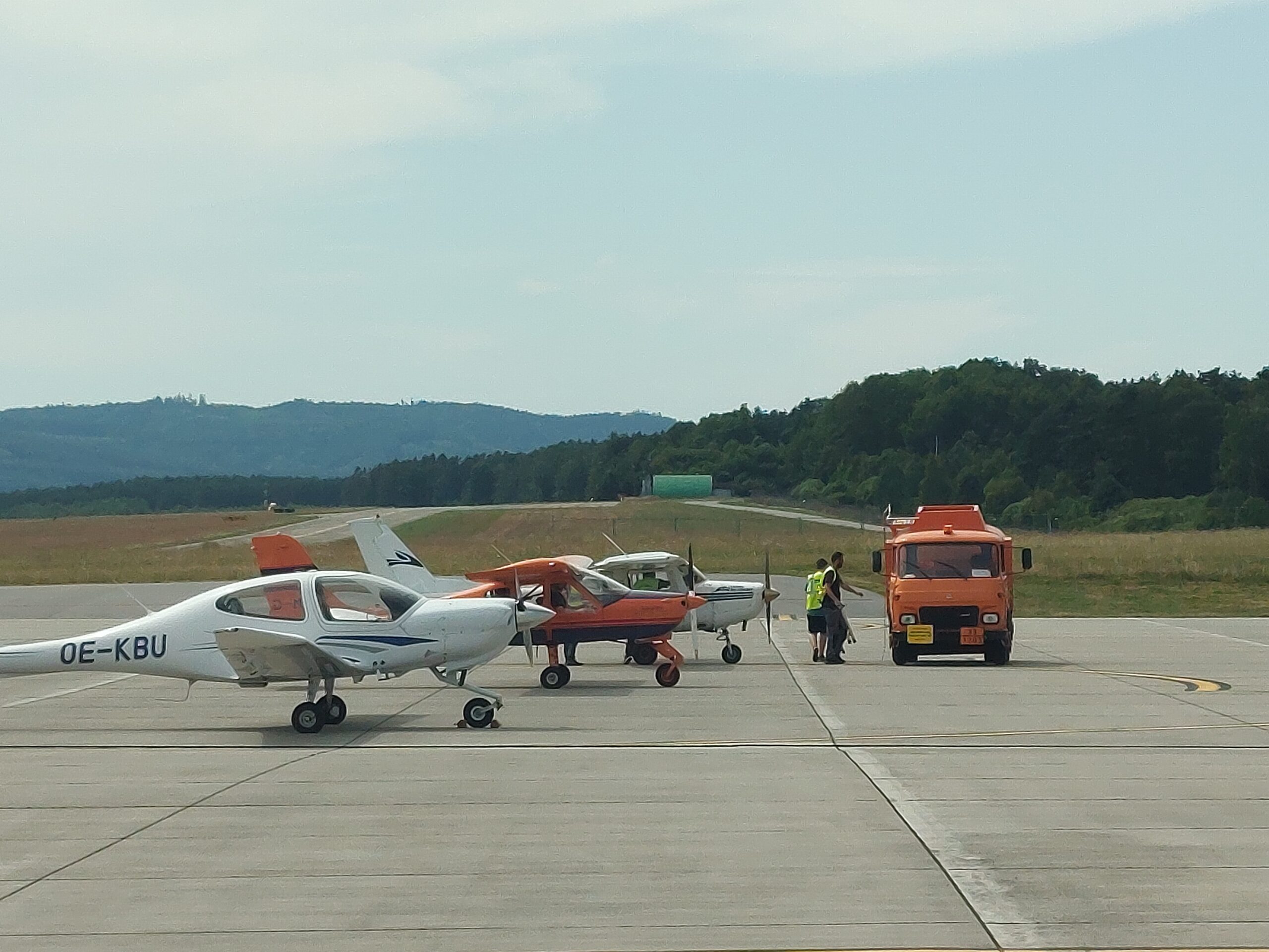
On the long island of Lido I met with Martin. The airfield LIPV is a long grass strip next to an old fortress, with an excellent lobby, an airfield-facing restaurant, and an active boat lane at the end of the runway. The plane was waiting for us there, ready for the long way home.
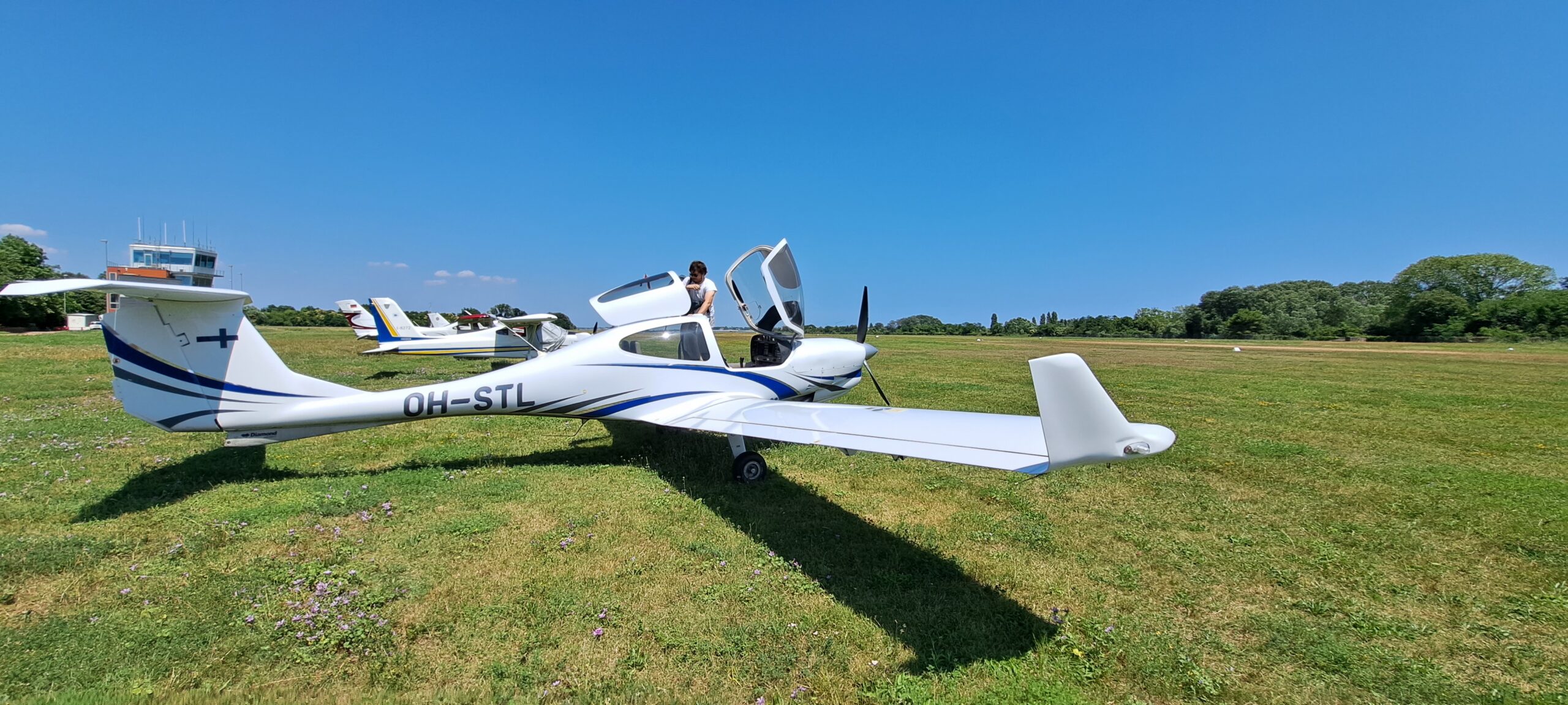
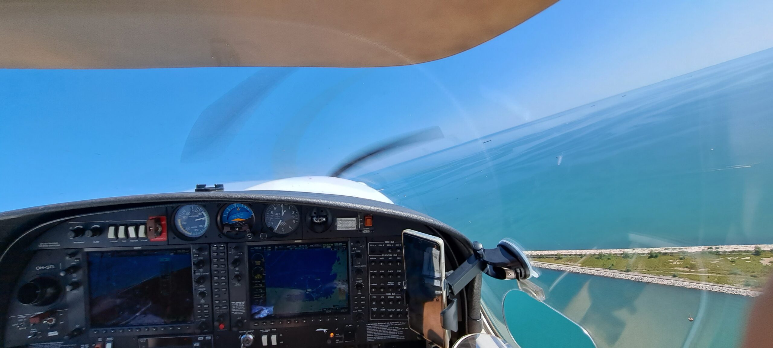
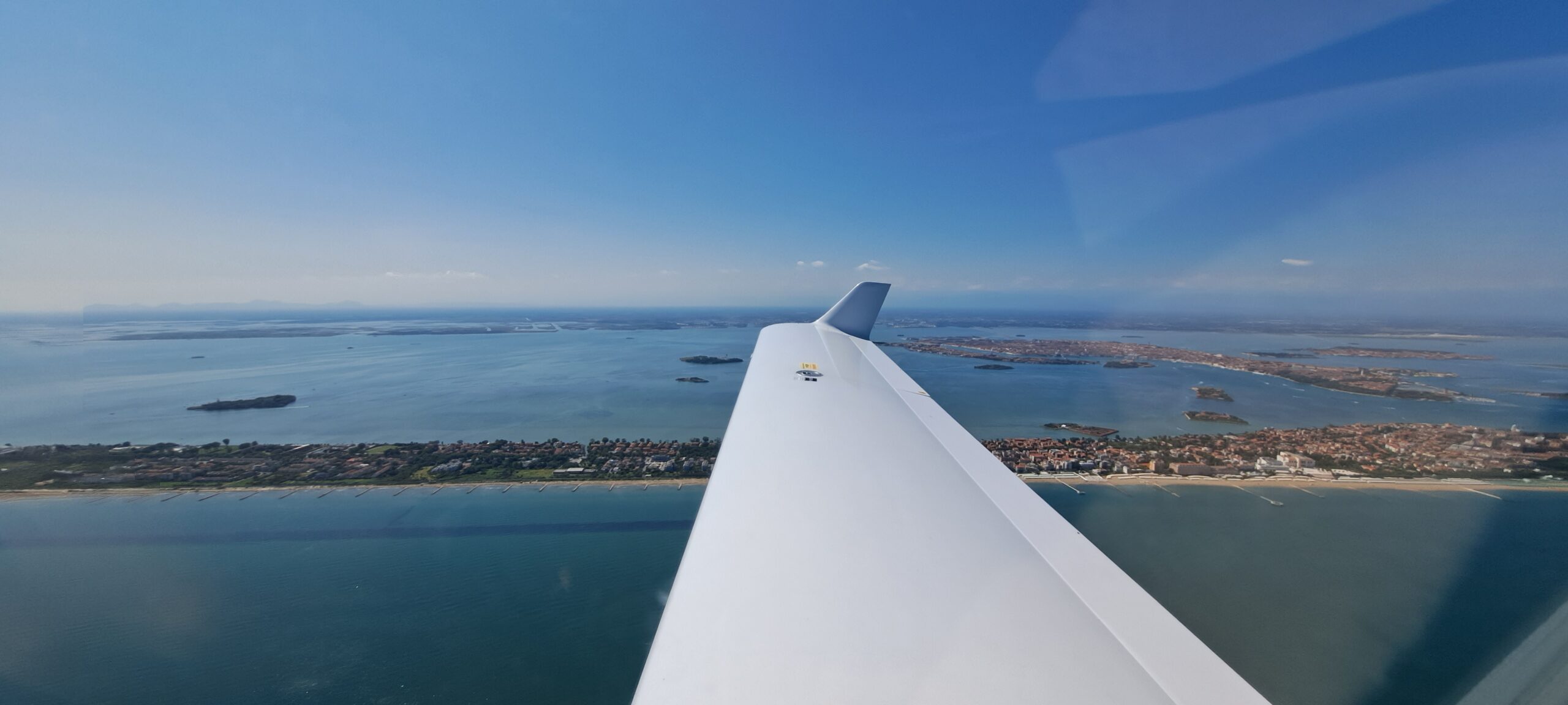
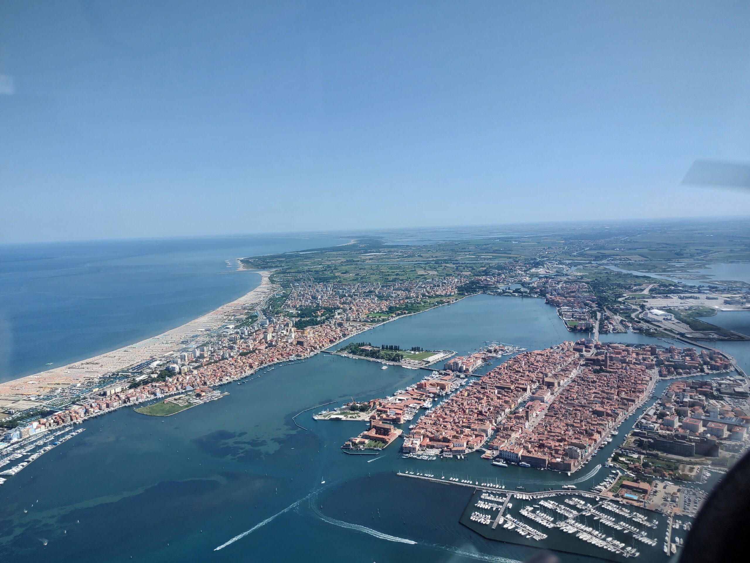
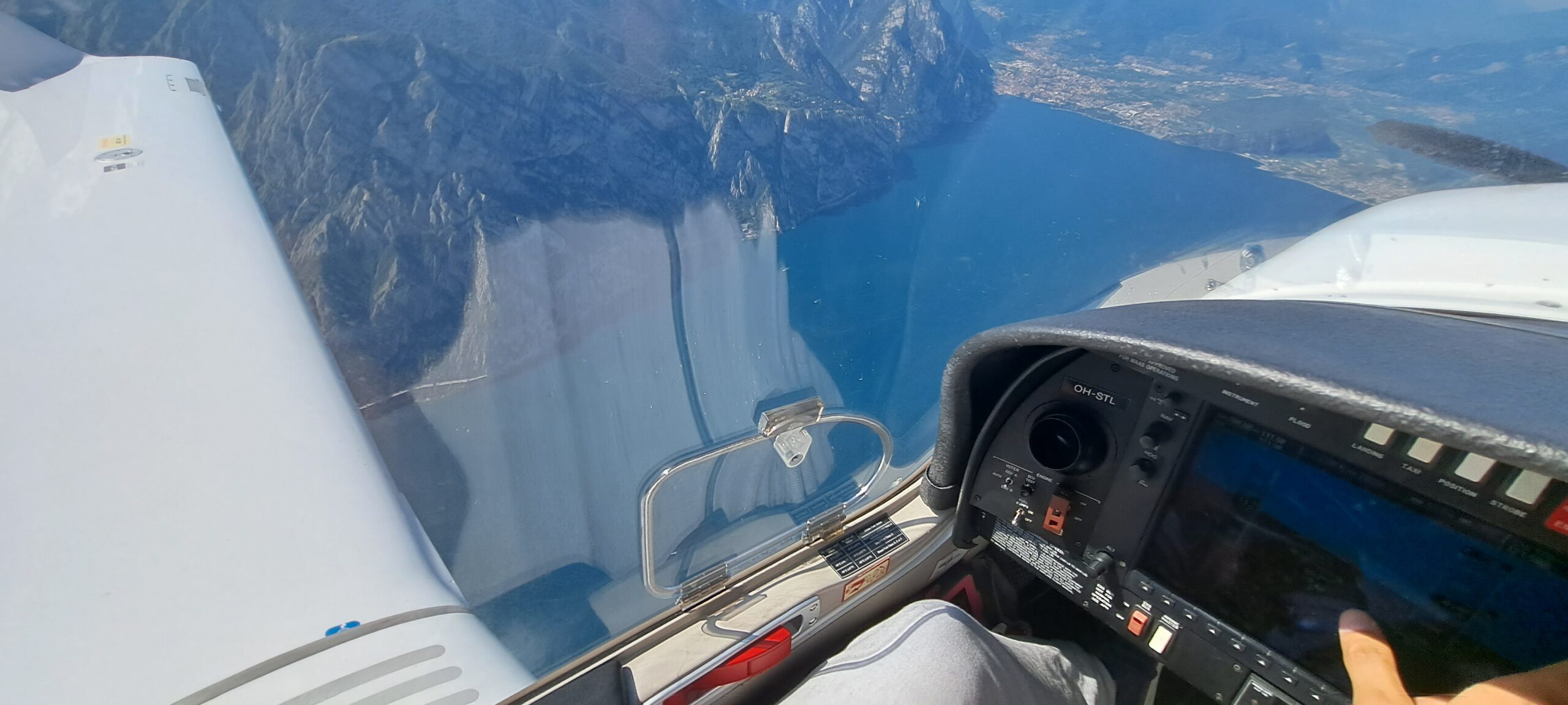
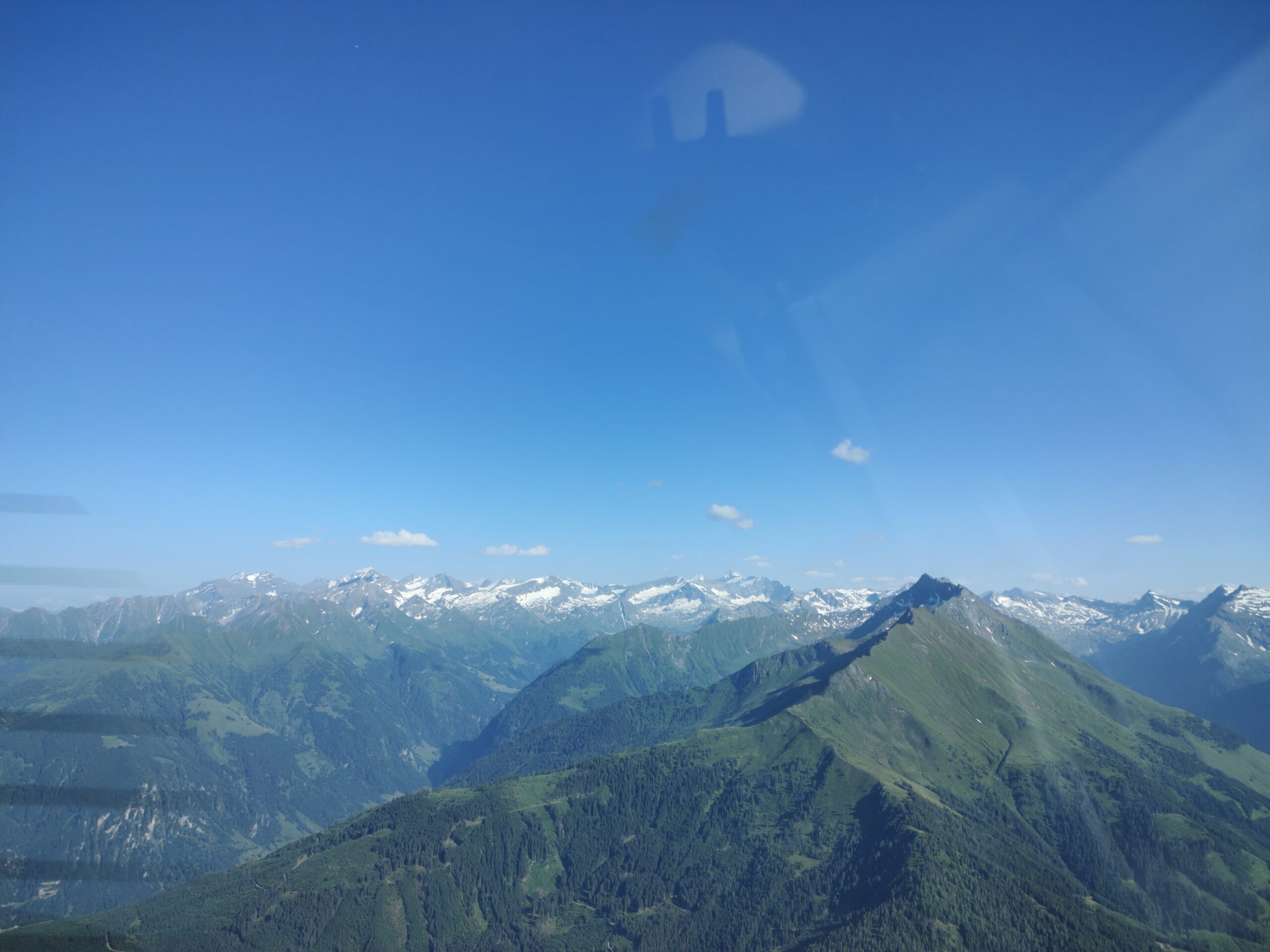
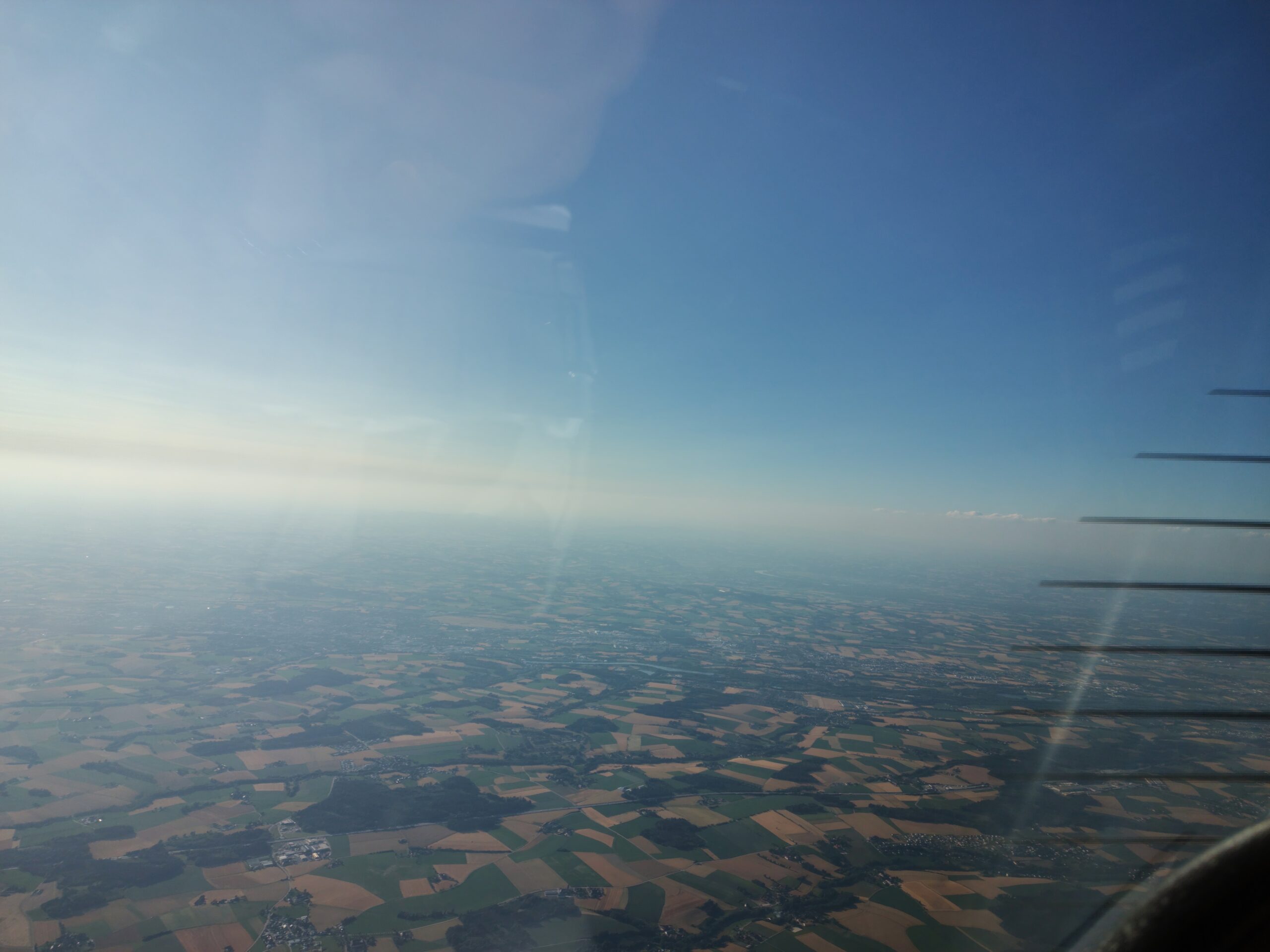
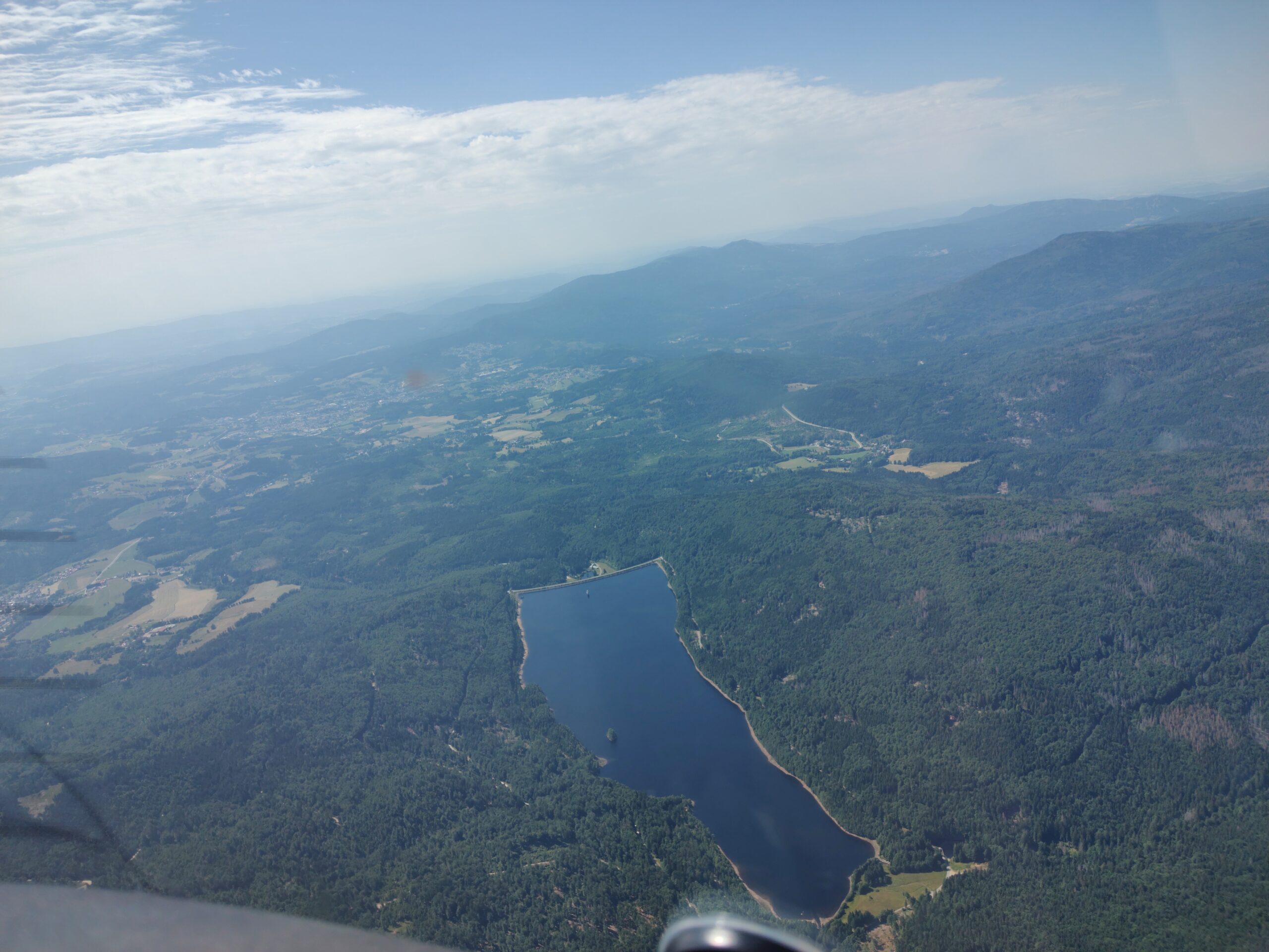
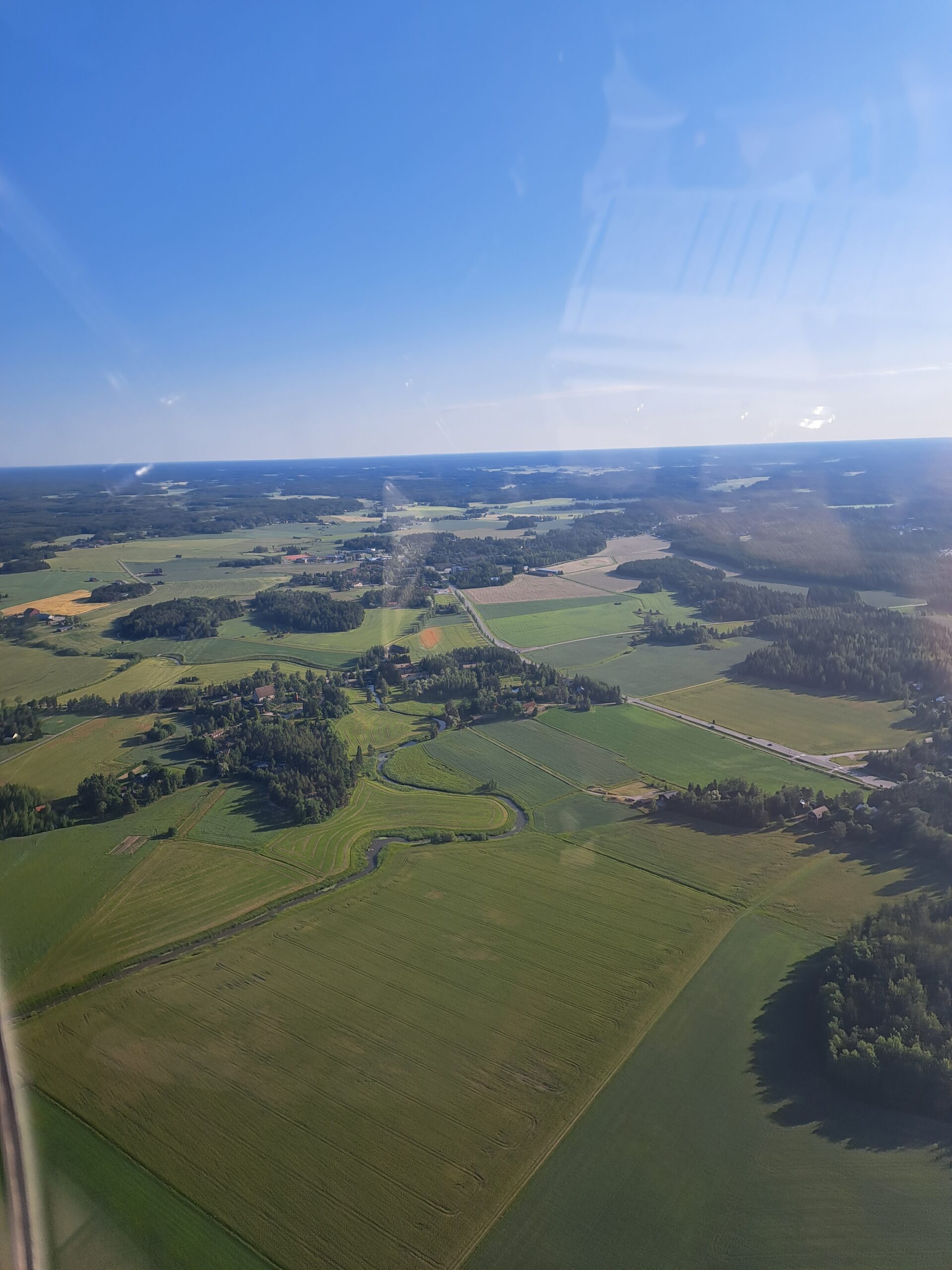
The weather was clear, sunny and hot. We pre-flighted the plane, refuelled, filed a flight plan, took off using a short field technique, and were met with the stunning views of Venice and the surrounding coastline from the air. With the busy airspace around Venice, we flew South along the coast, then turned towards Verona, with the plan to fly to the Czech Republic the long way, via the Alps and the Brenner Pass. Soon, we passed over Verona, and turned North, flying along the Lago di Garda valley towards the Brenner Pass. Soon the mountains rose up around us. Before entering the valley we had been warned by air traffic control that we would be out of radio contact for a long time. They asked us to provide an estimated time for crossing the border with Austria and bade us a good flight.
Before long we were almost at the Austrian border, contacting small airfields along the way, asking them to relay our position to the Italian control centre. At the Austrian border, we encountered a dozen small paramotors enjoying the weather, and soon we were talking to the Innsbruck controllers as they guided us over the city, then eastwards through their airspace. After a total of 2.5 hours in the mountains, we emerged into the flatter area surrounding Linz, overflew one of their airports, then headed across the Czech border.

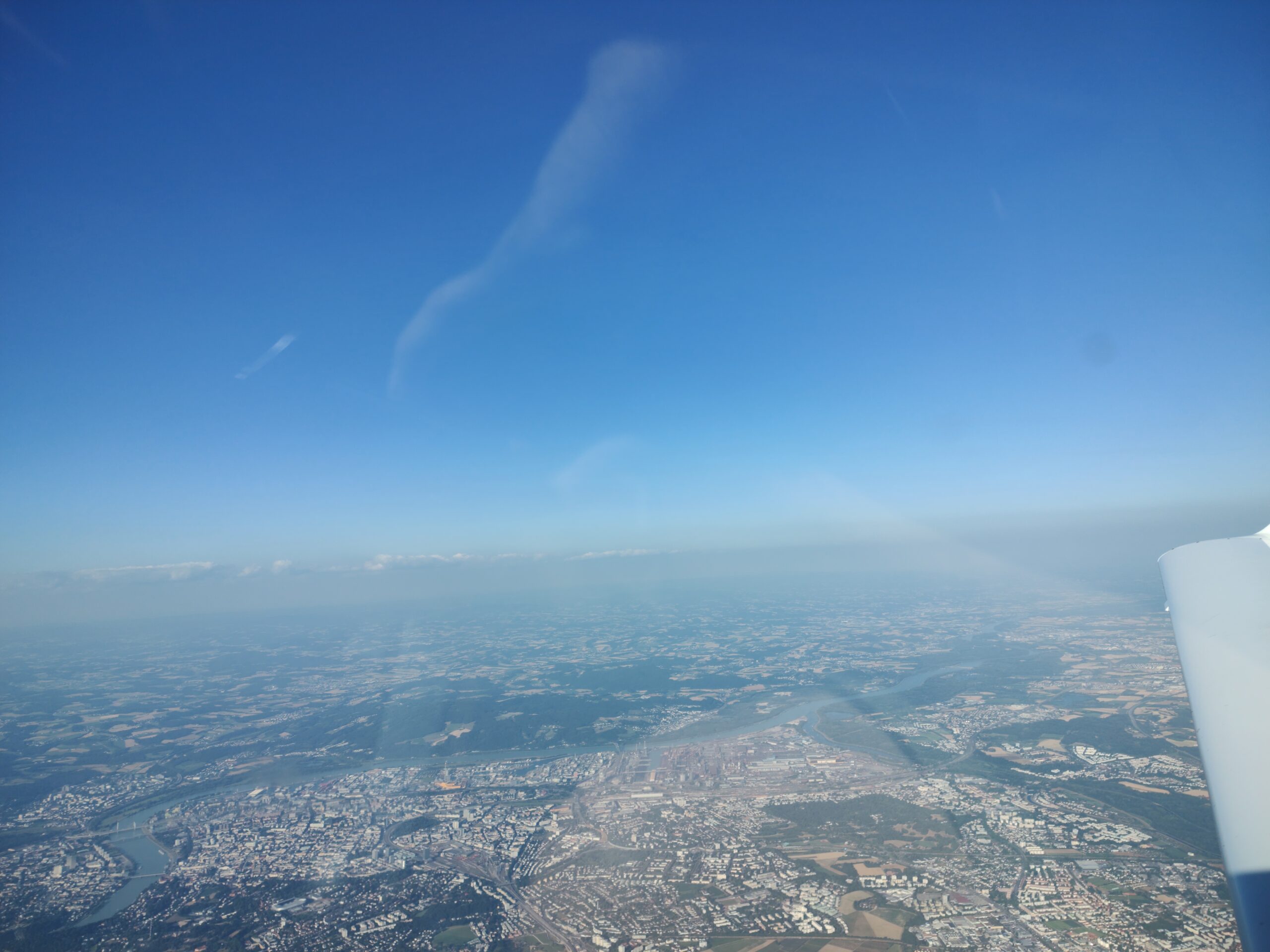
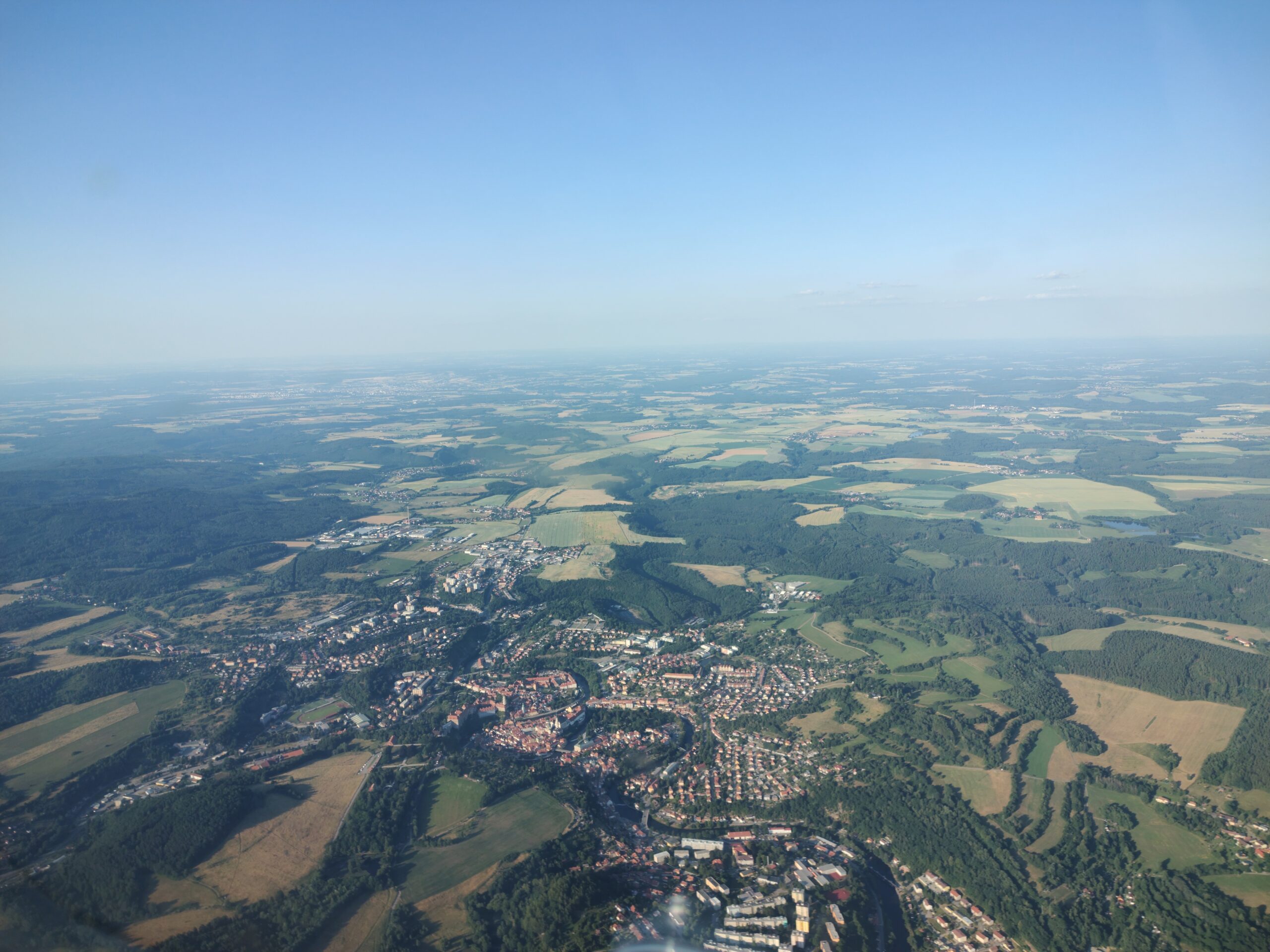
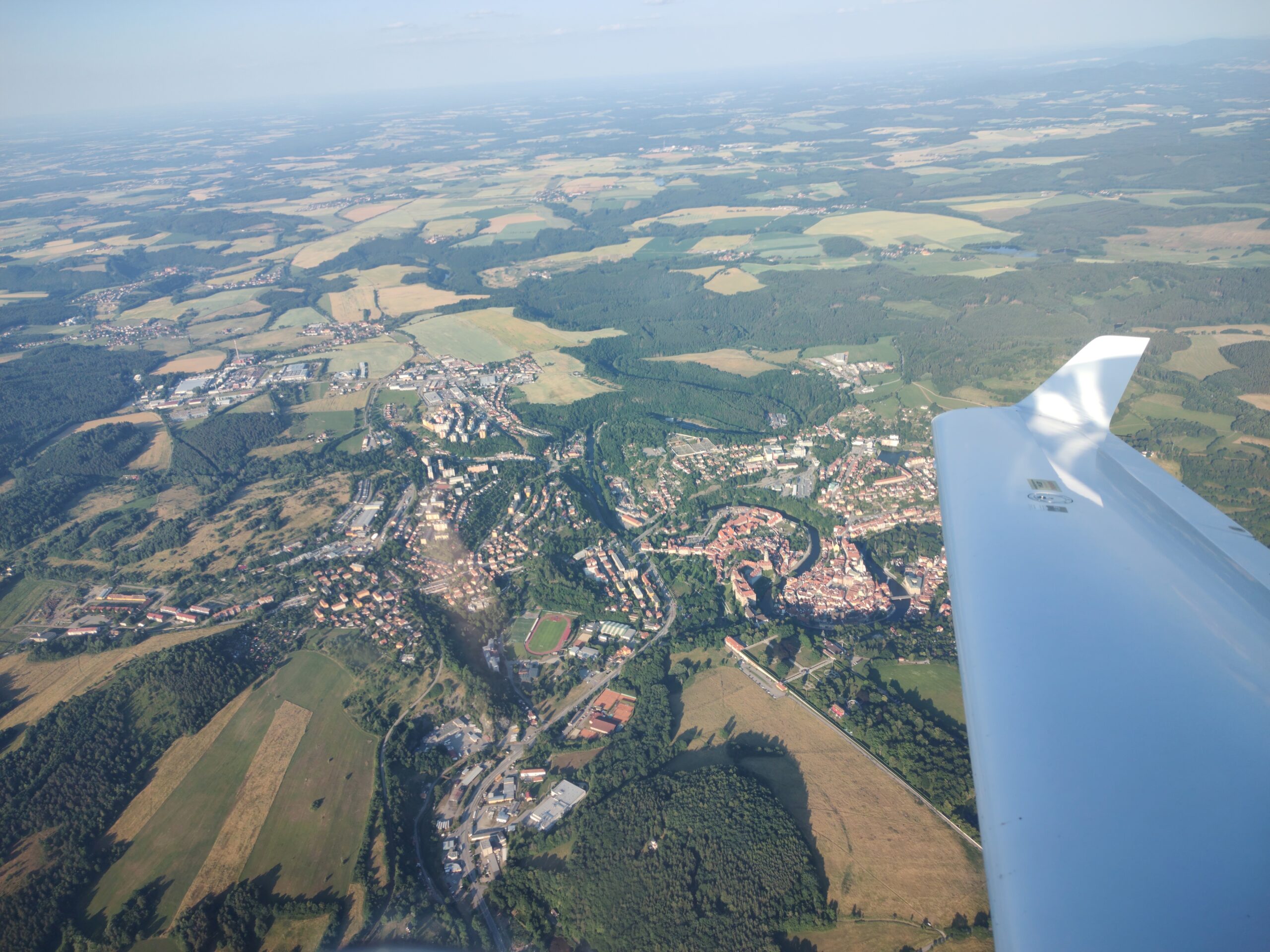
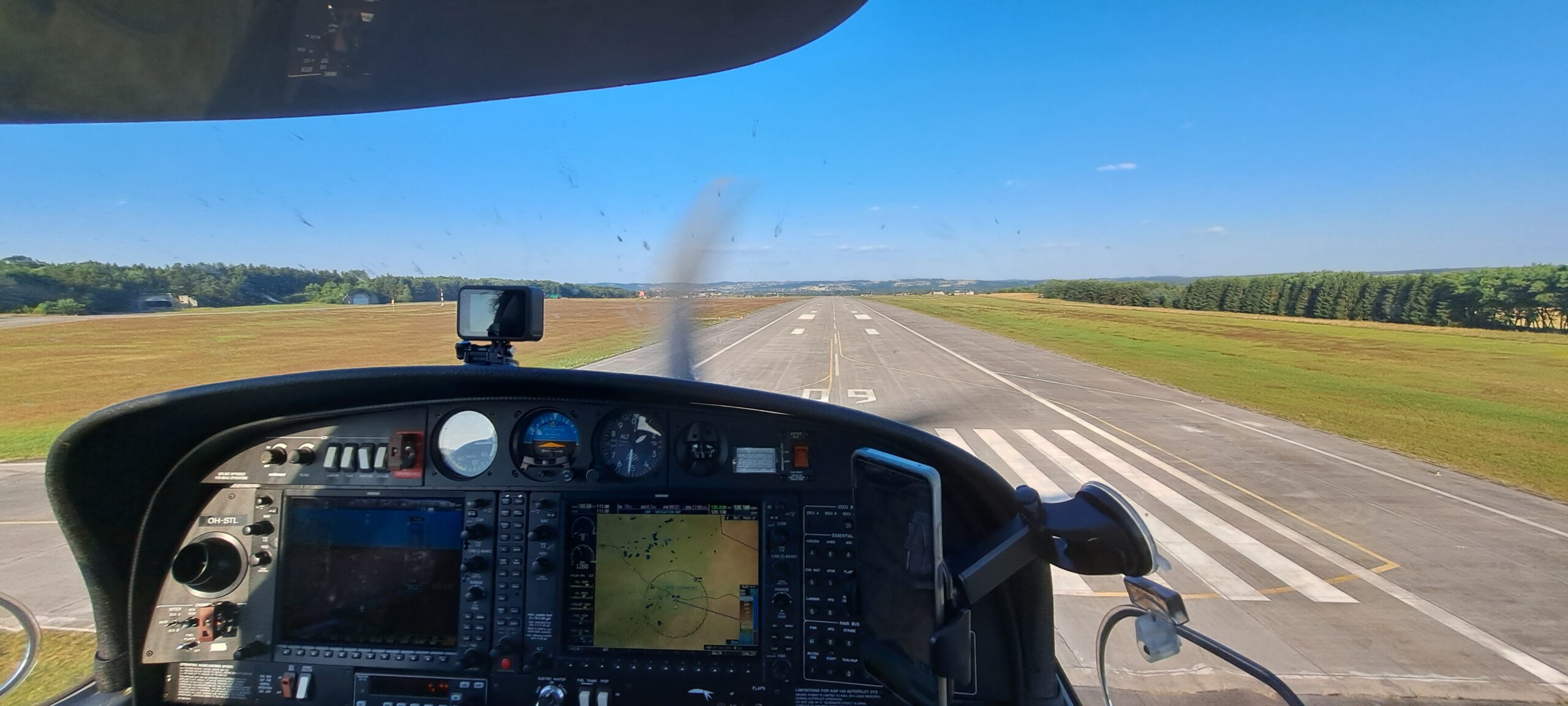
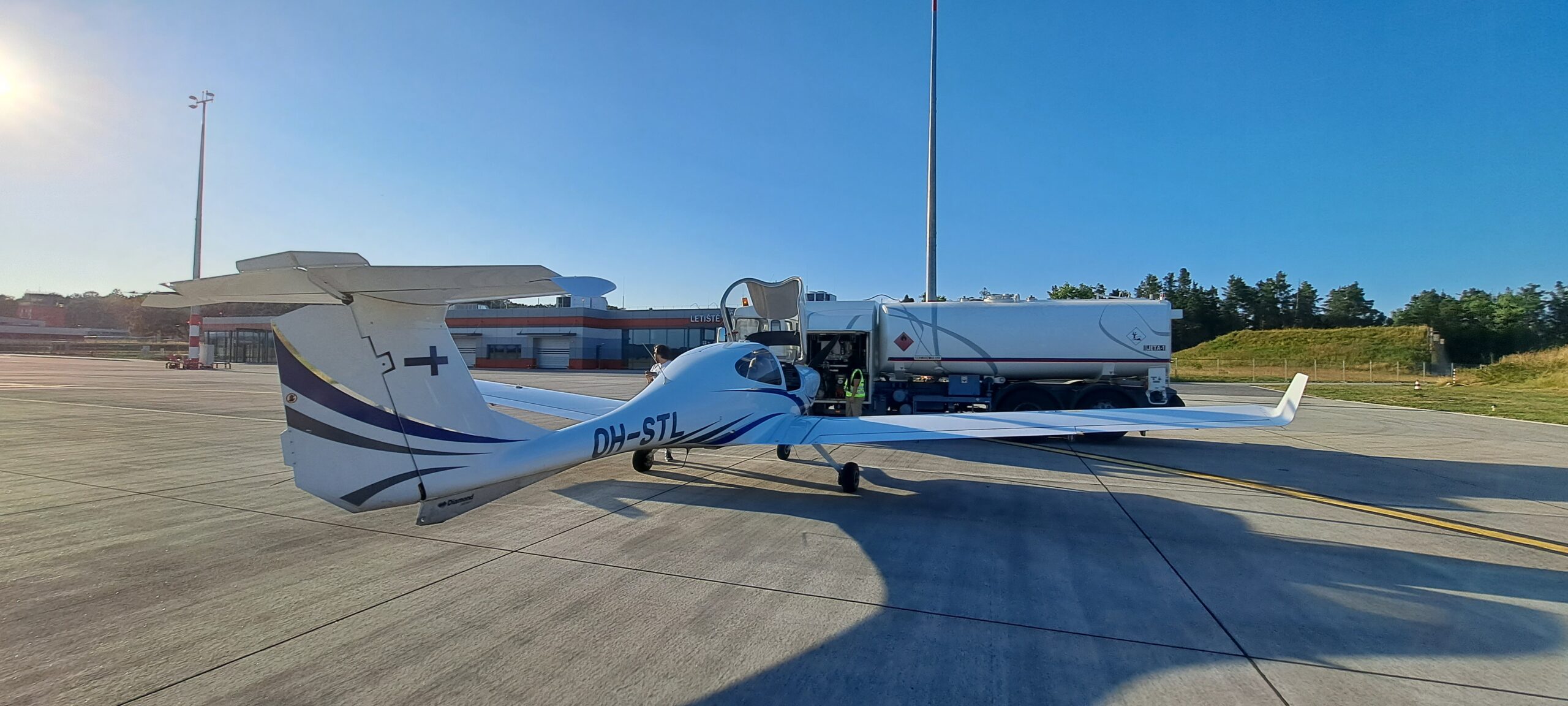
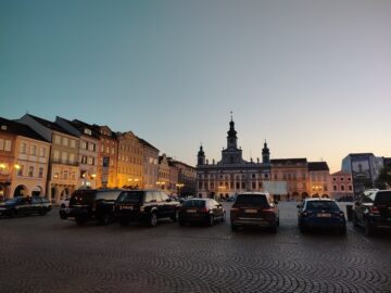
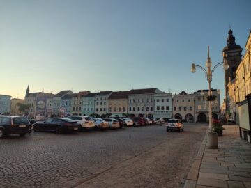
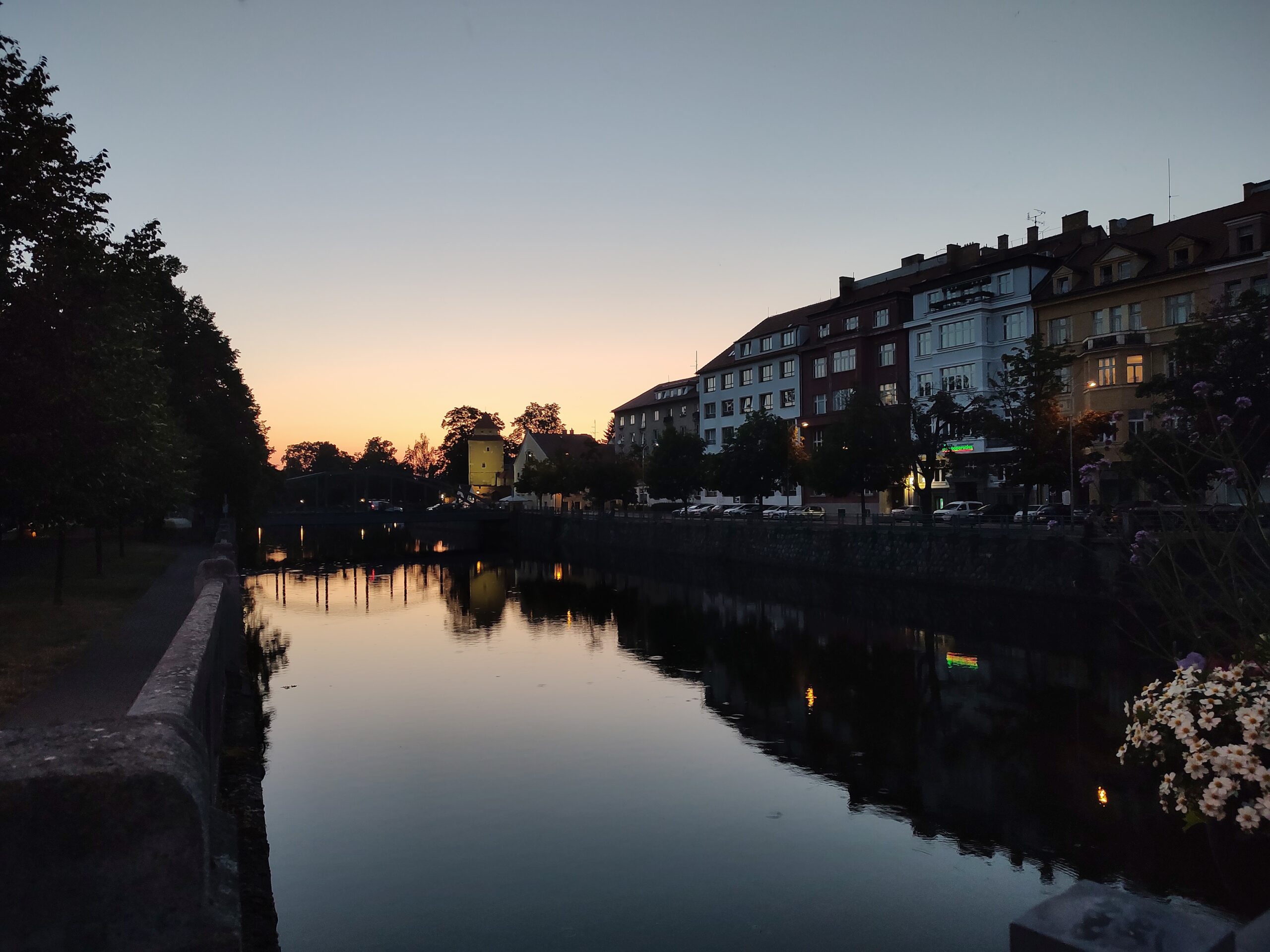
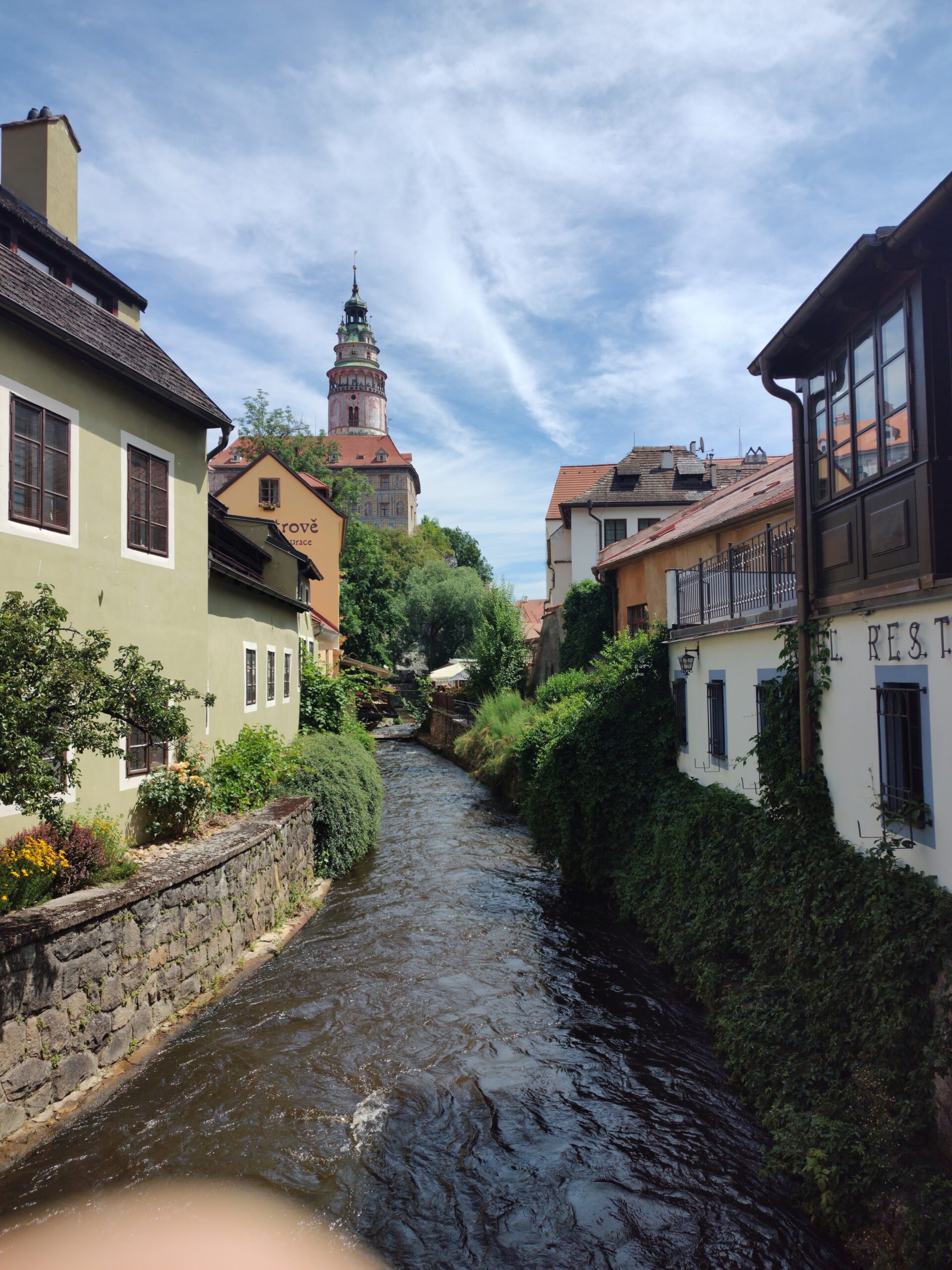
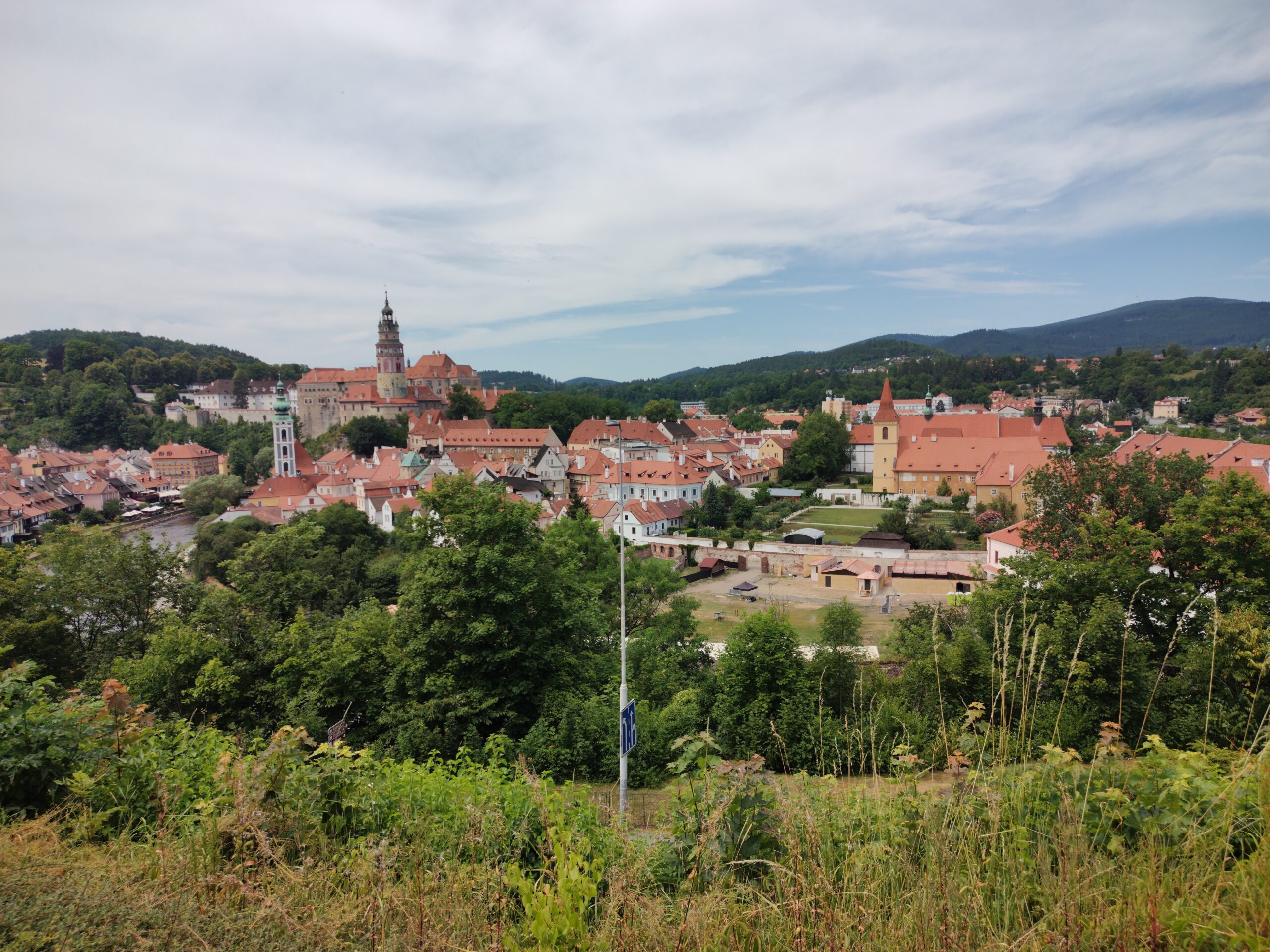
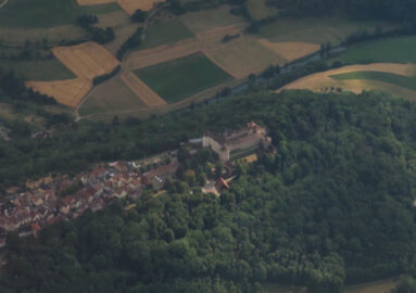
With the evening arriving, and the light slowly receding into the west, we had one more place to see from the air. While descending towards our destination for the night, we overflew the scenic medieval town of Cesky Krumlov, catching a good view of its famous towers and viaduct. We then headed down for landing at Cesky Budejovice (LKCS), a renovated small airport built on an old airfield from the Cold War era, with Soviet bunker-hangars surrounding a modern terminal building. We spent the night in the Ceske Budejovice town, enjoying the local Czech cuisine and old town centre.
DAY 2 – Czech Republic and Germany
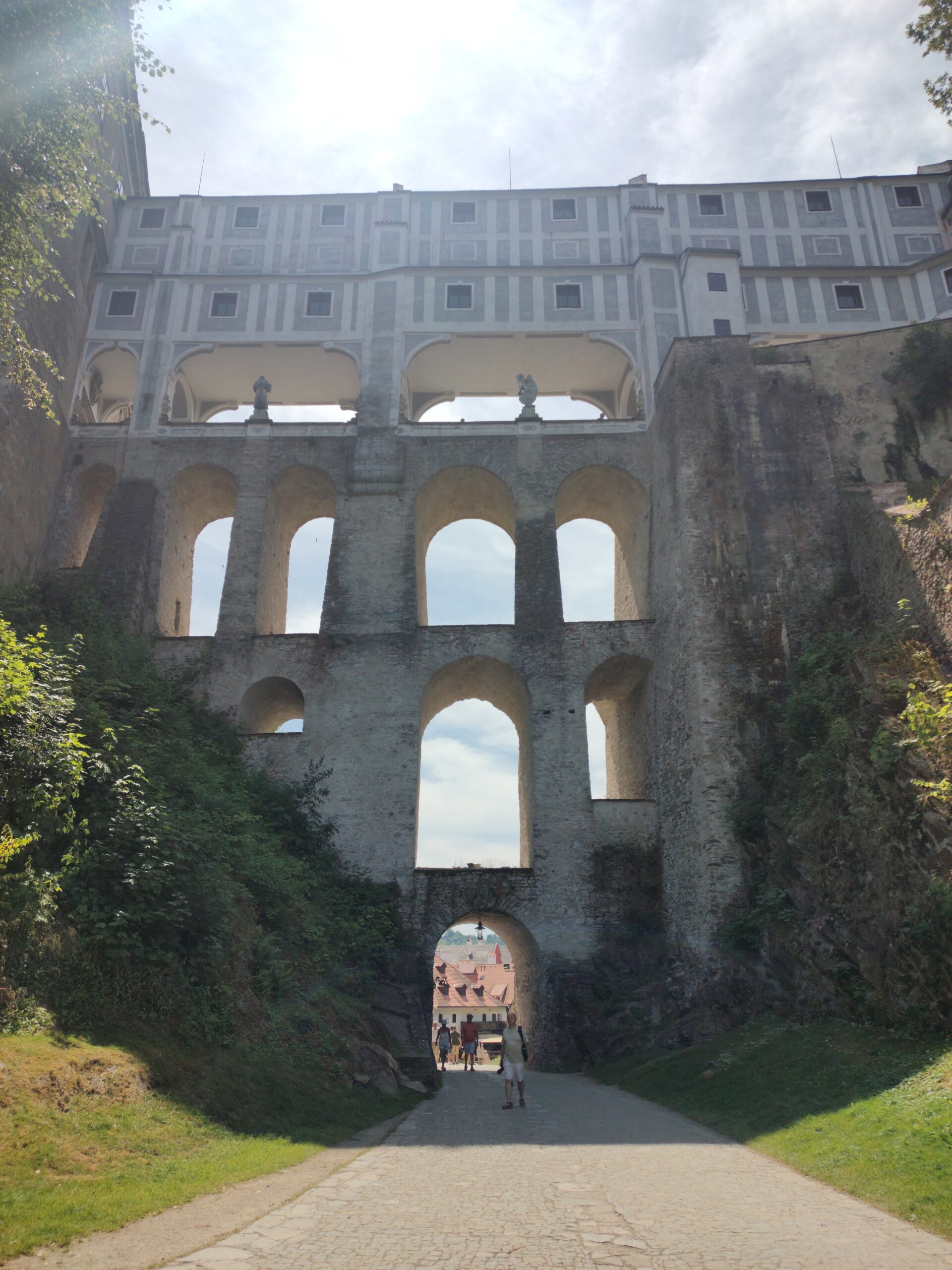
The next day, we caught the bus to Cesky Krumlov, and spent the morning exploring the town that we had seen from the sky. It is truly a scenic place, with the sunlight bringing out the colour and texture of the historic architecture.
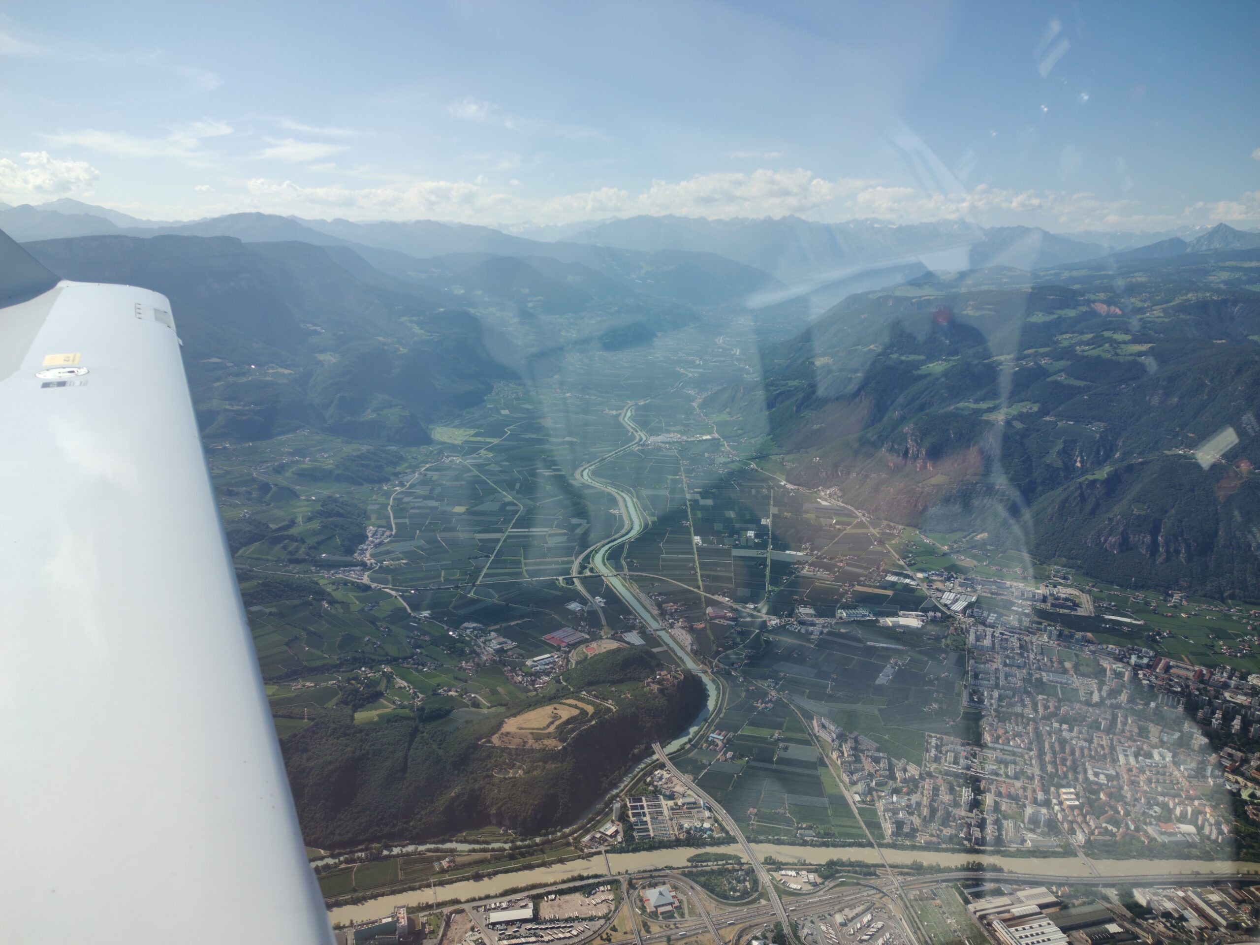
After a quick lunch, we got a taxi to the airport, checked the airplane, refuelled, filed a flight plan, and departed West, toward the German border. After waving one last goodbye at Cesky Krumlov, we settled in for a flight over the beautiful fields of Bavaria. While we were not planning to stop there, we got a good glimpse of the city of Regensburg with its many bridges, and a distant view of Nuremberg. Soon, we reached Baden-Württemberg with its many castles. With VFR maps from SKydemon as our primary reference, we tried to spot as many castles as we could (most are indicated on VFR maps). We found about 15, some much more elusive than others.
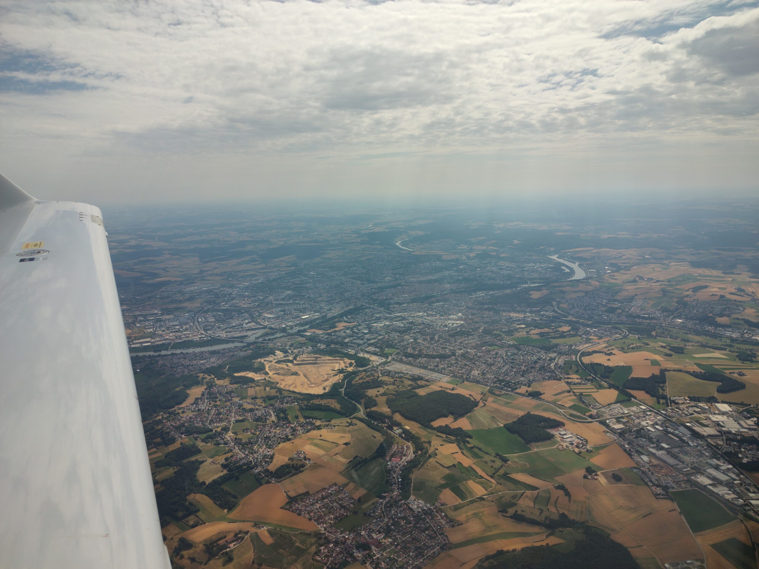
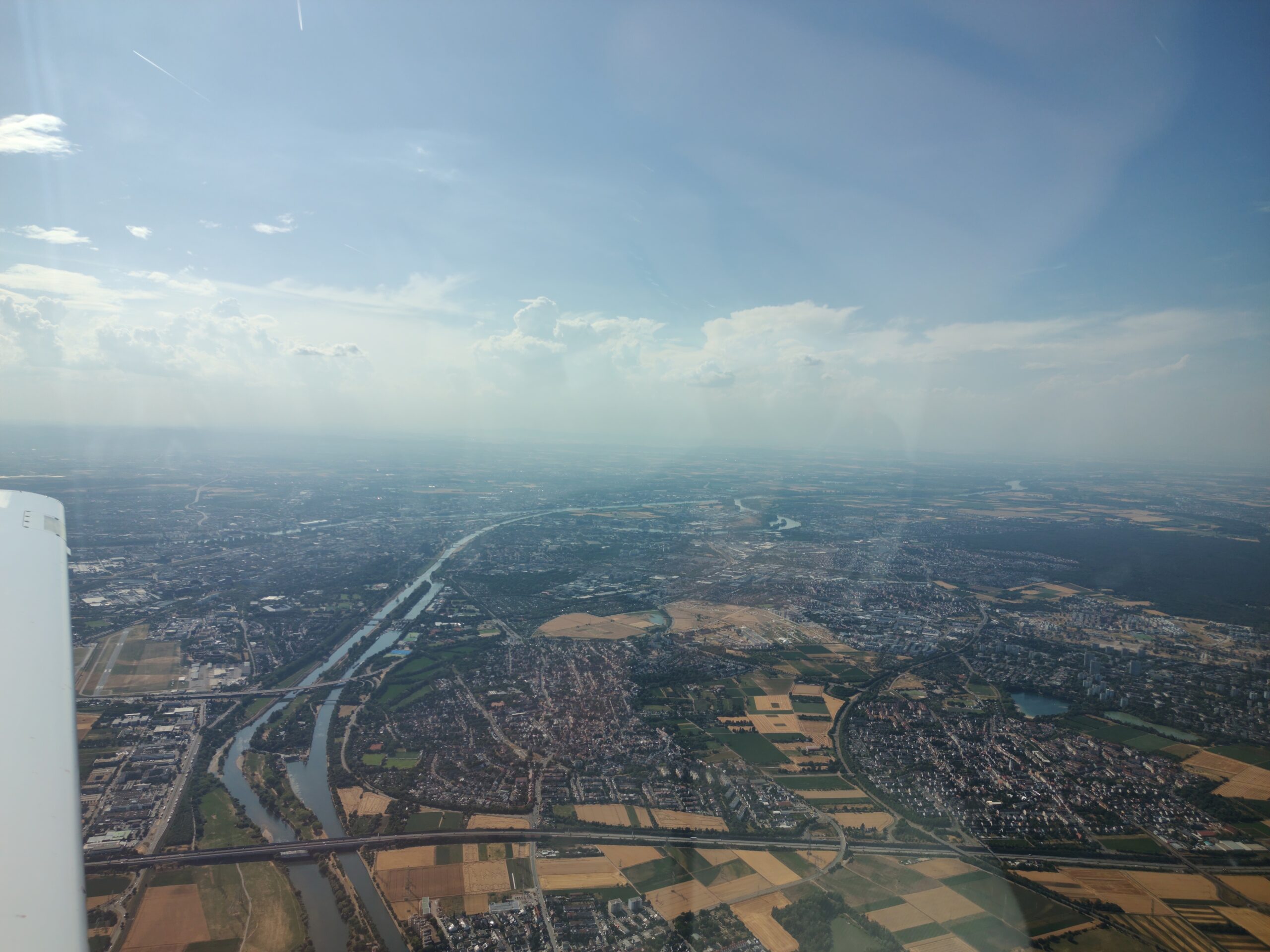
We crossed the famous Odenwald forest, glimpsing small towns cradled in river valleys, then entered the Rhine Valley, overflying Heidelberg with its many bridges, castle and palace. Finally, we passed Mannheim and castle Frankenstein, and landed just 25 km south of Frankfurt, with its skyline just ahead when joining the Base Leg of the Frankfurt-Egelsbach traffic pattern.
In Frankfurt we parted ways with Martin who flew back to Finland with a commercial flight, while I went to party with old co-workers from the area.
DAY 3 – Rhine Valley
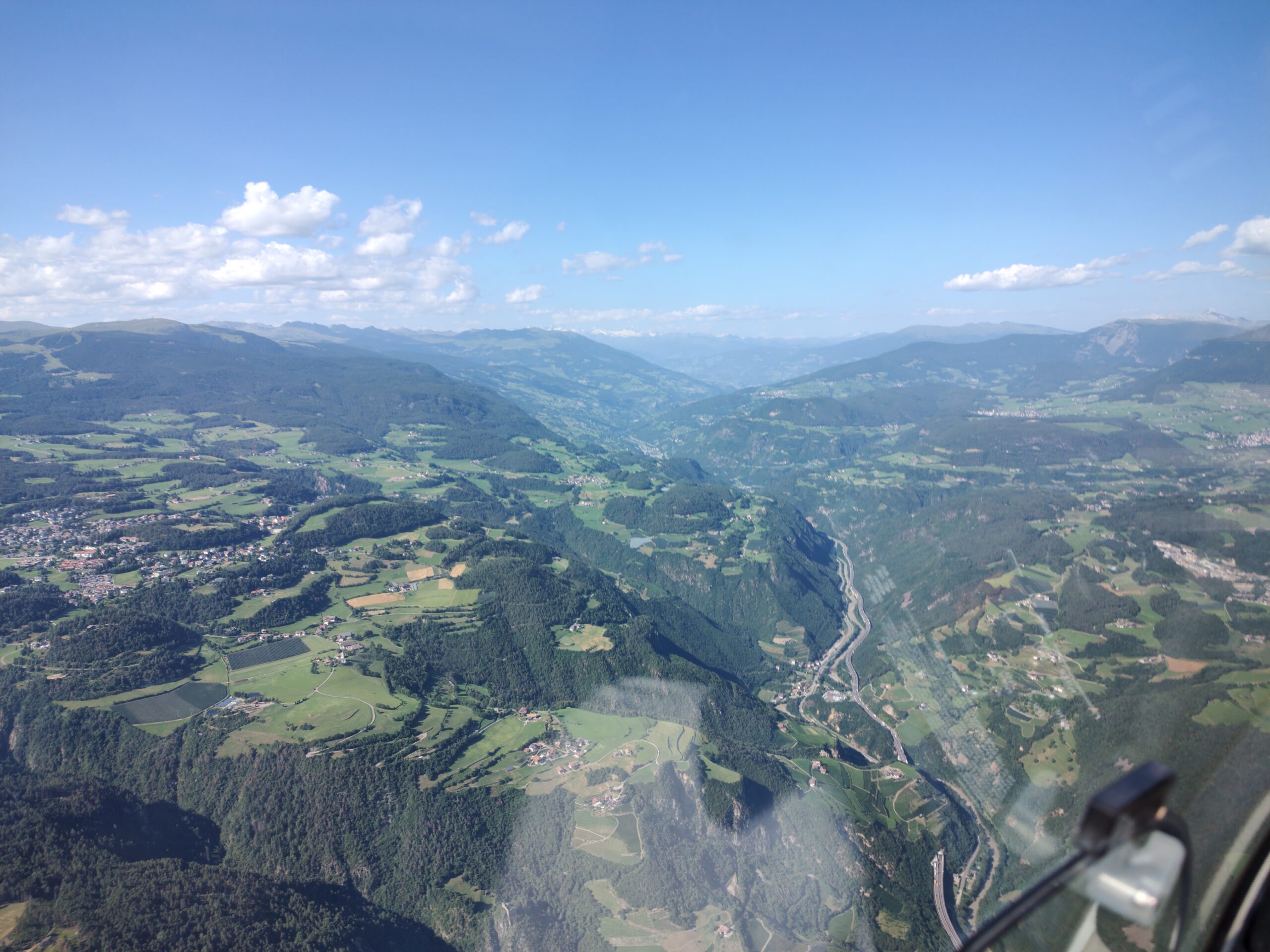
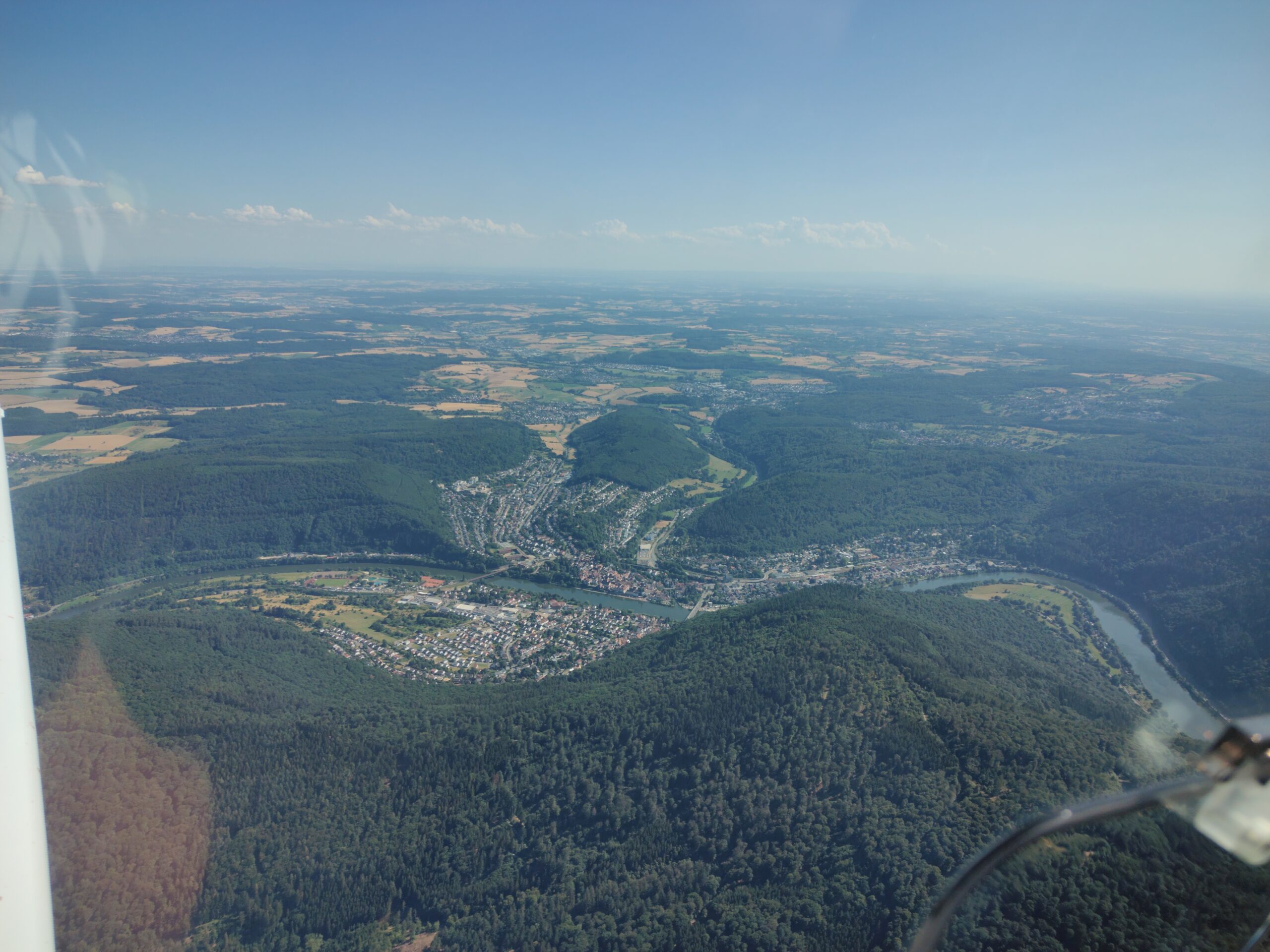
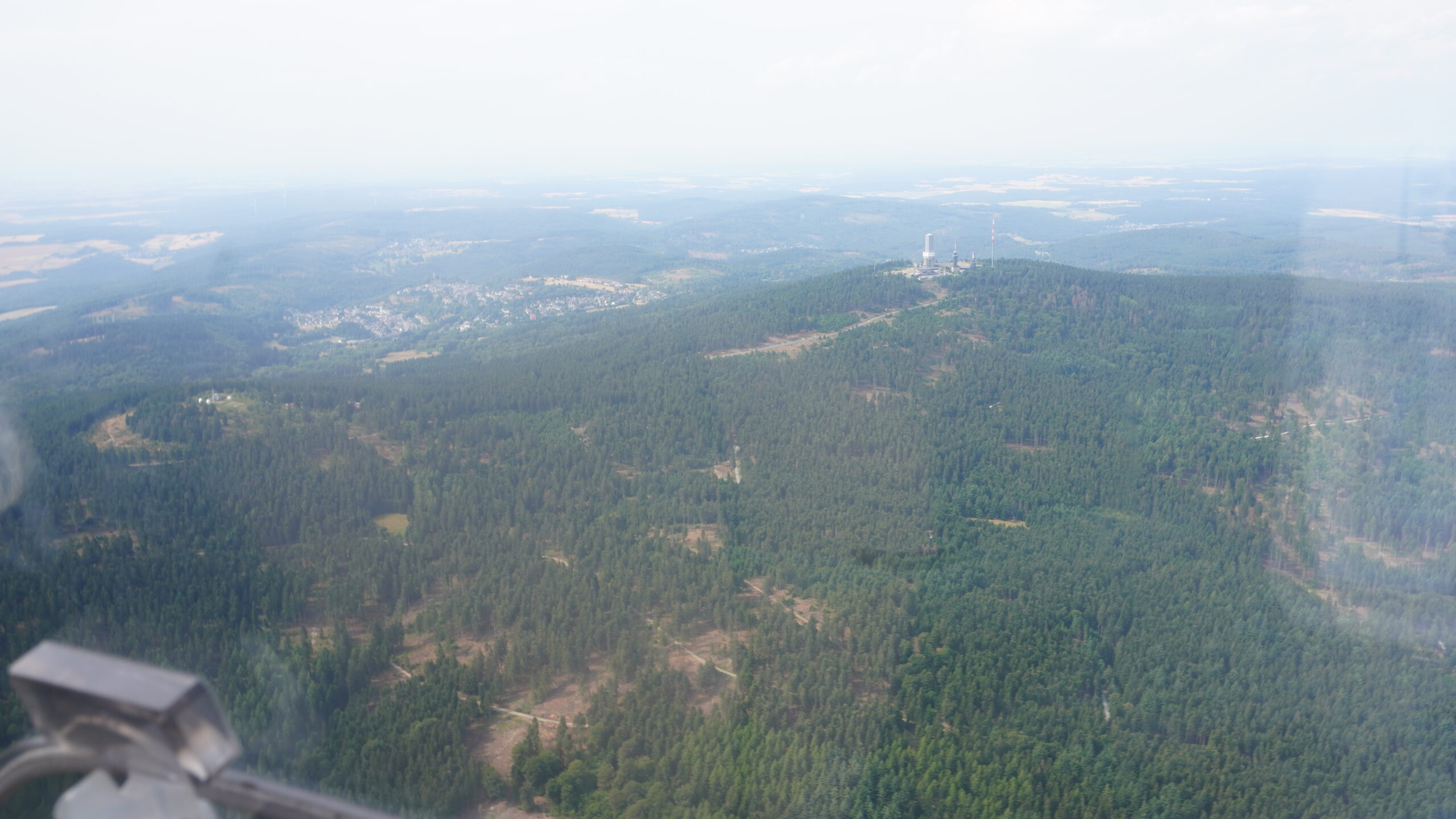
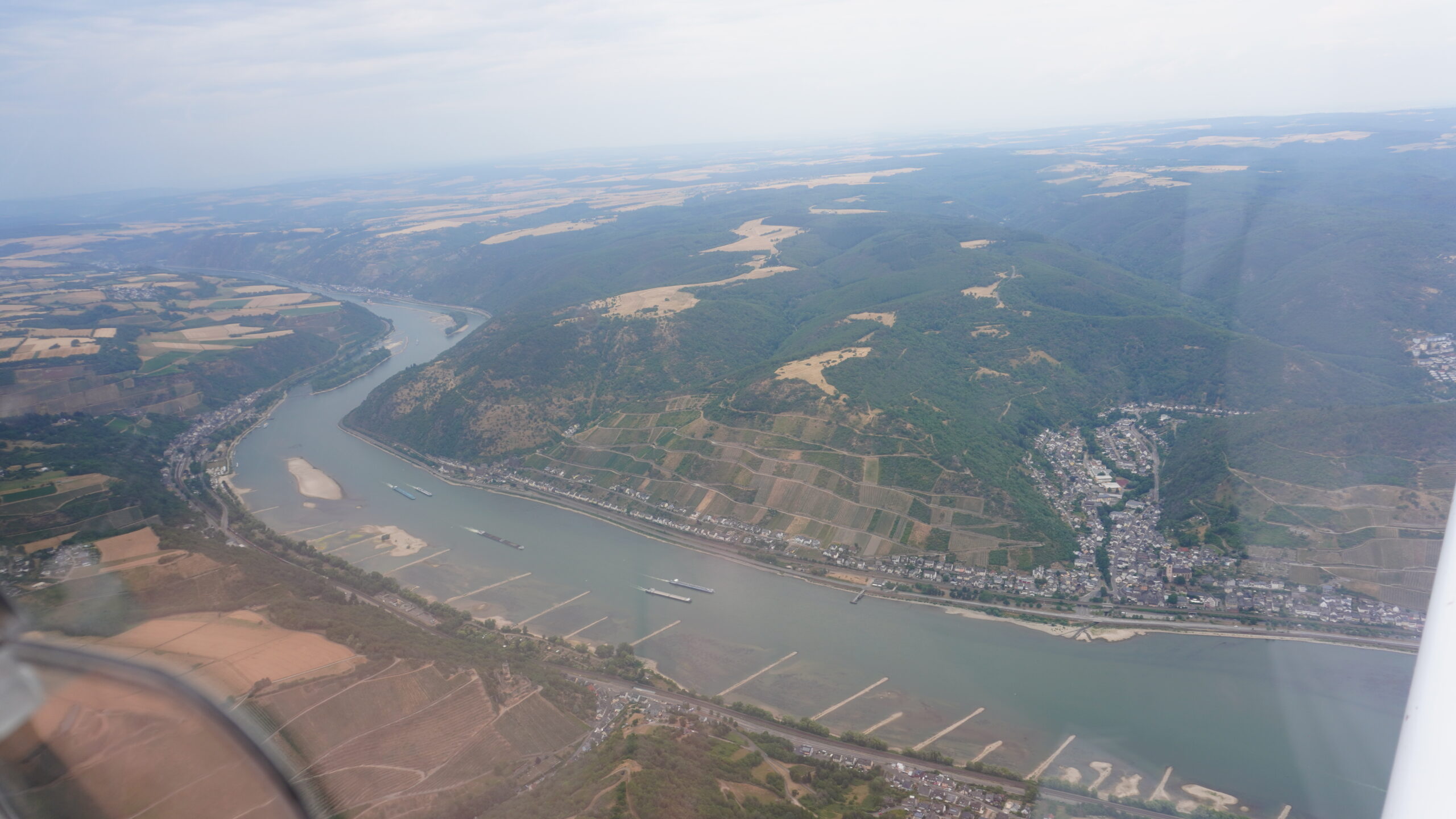
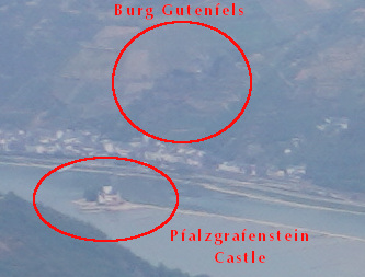
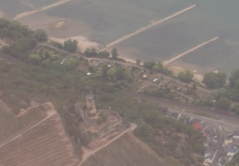
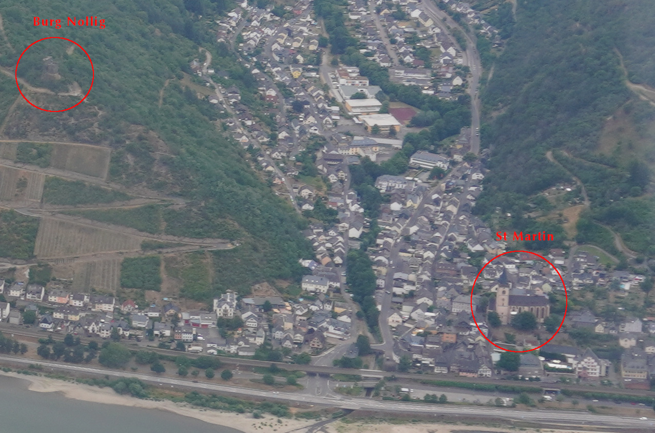
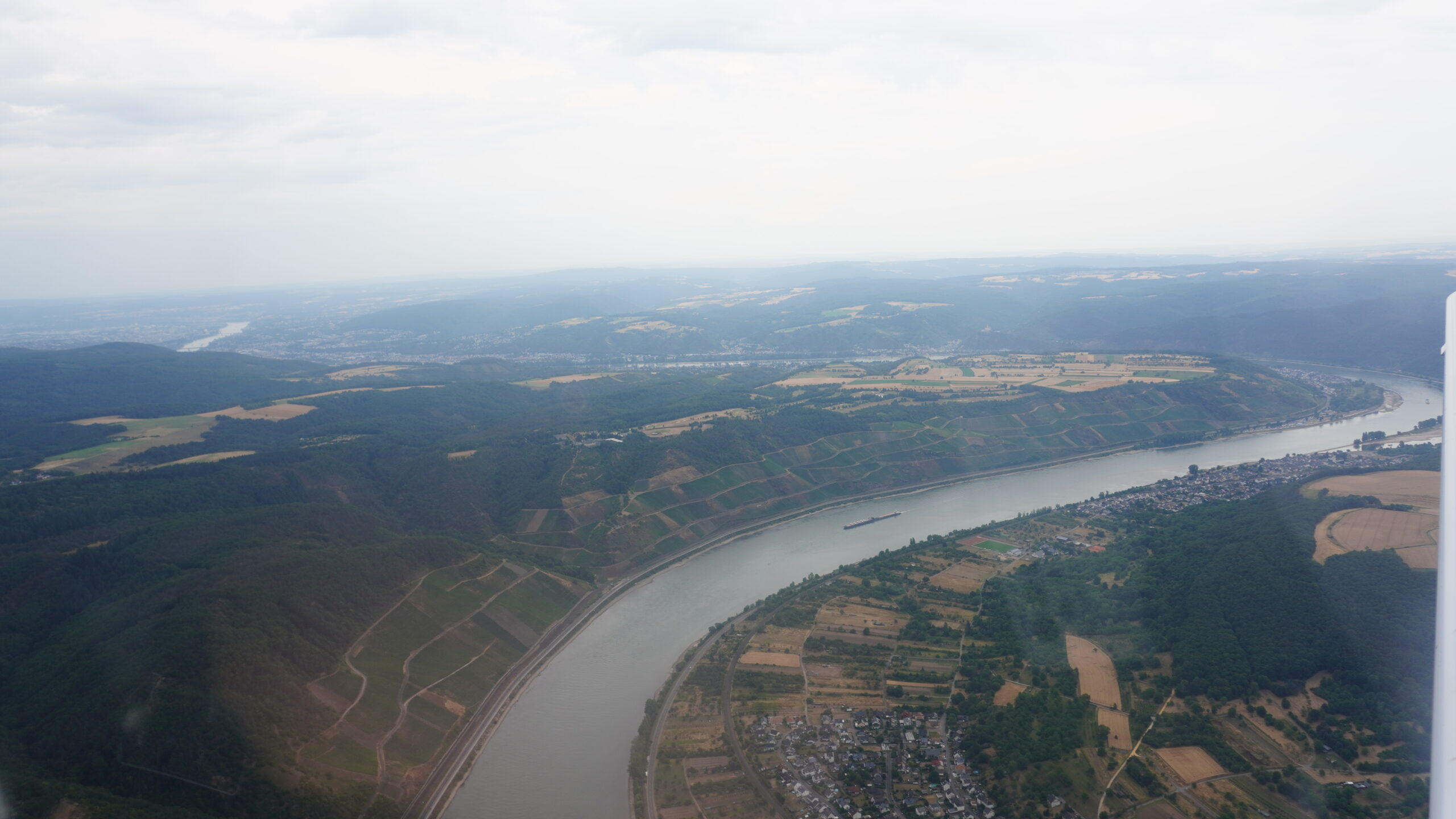
The next day I took an old colleague with me in the right seat for his first flight in a general aviation plane. We took off from Frankfurt-Egelsbach (EDFE), flew over Taunus, the 1km mountain marking the northern edge of the Main Valley and Frankfurt, circled the old weather station building, then followed the Rhine north. The valley in that direction narrows significantly, with hillsides coming right up to the river’s edge. The hills are home to over a hundred small towns, magnificent churches and castles, many dating to the middle ages.
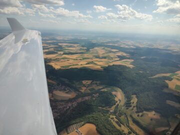
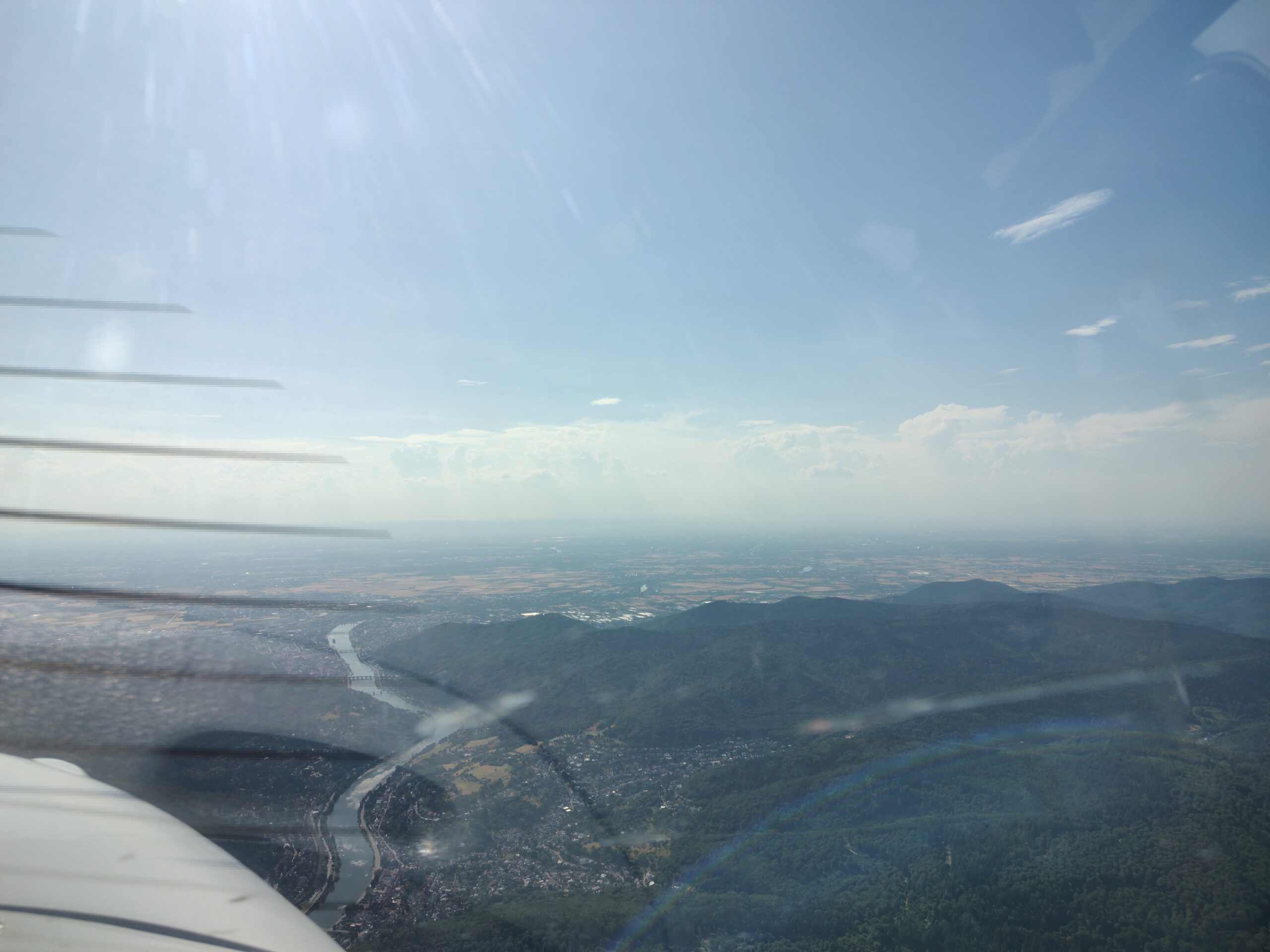
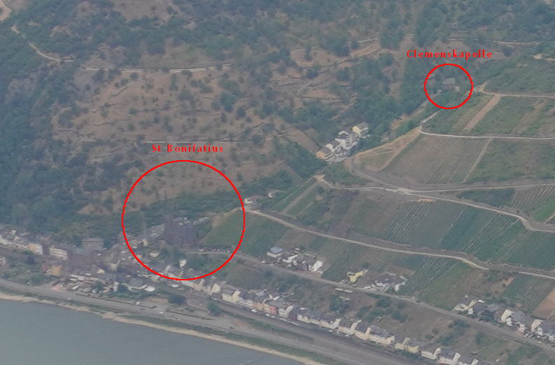
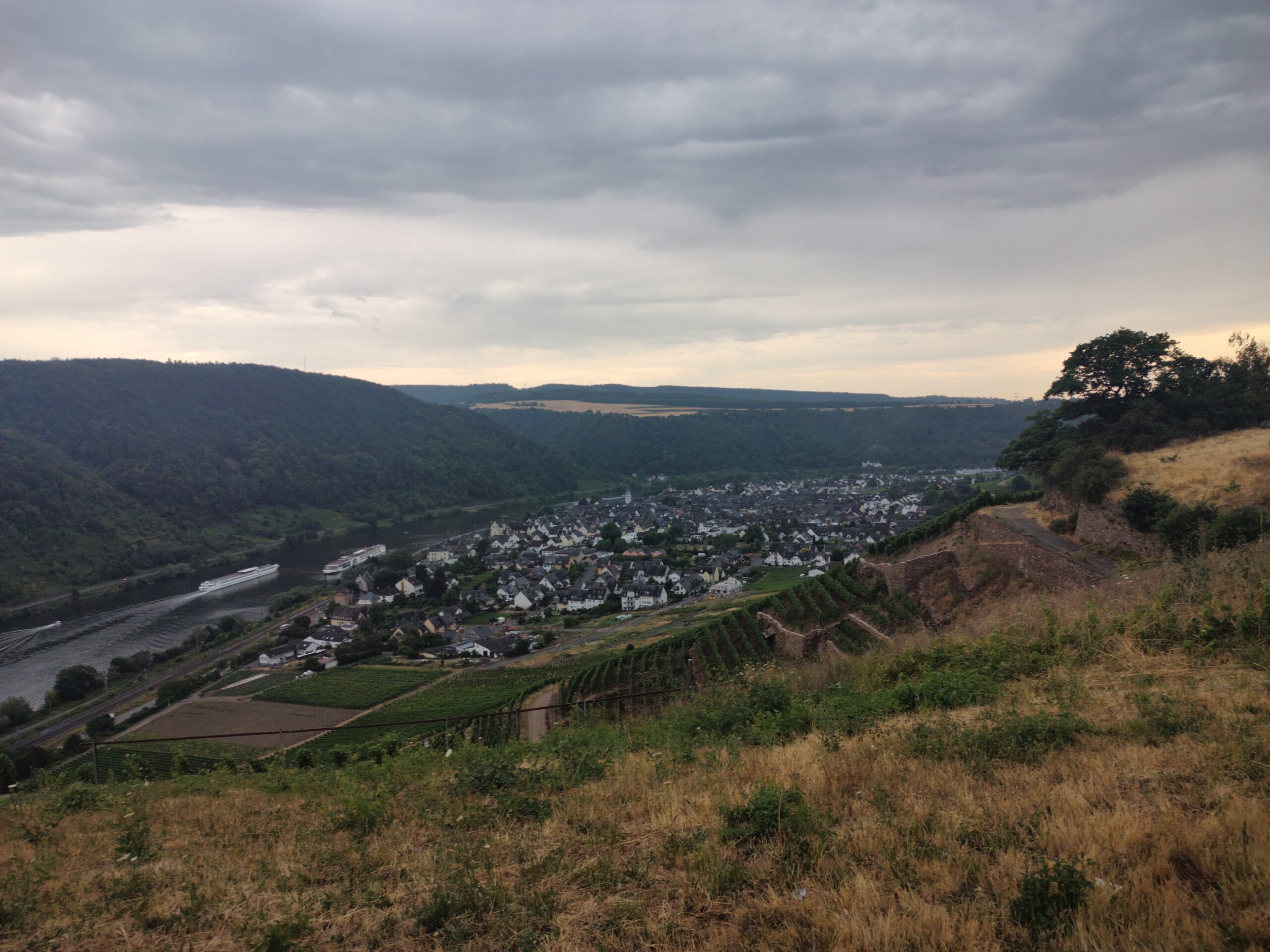
With a short summer storm arriving from the west earlier than forecast and distant lightning on the horizon, we landed in Koblenz-Winningen (EDRK), a small airfield atop a hill nestled between the Mosel and Rhine rivers. We went down through traditional vineyards to the small town of Winningen below, enjoyed a dinner of local food staples at a Gasthaus, then caught a short train to Koblenz where we spent the rest of the day.
Answers:

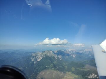
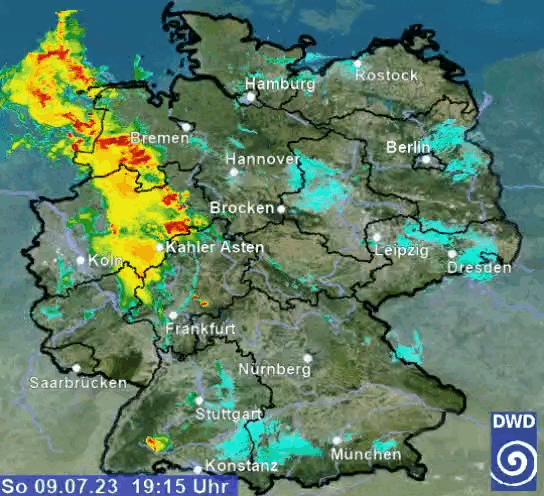
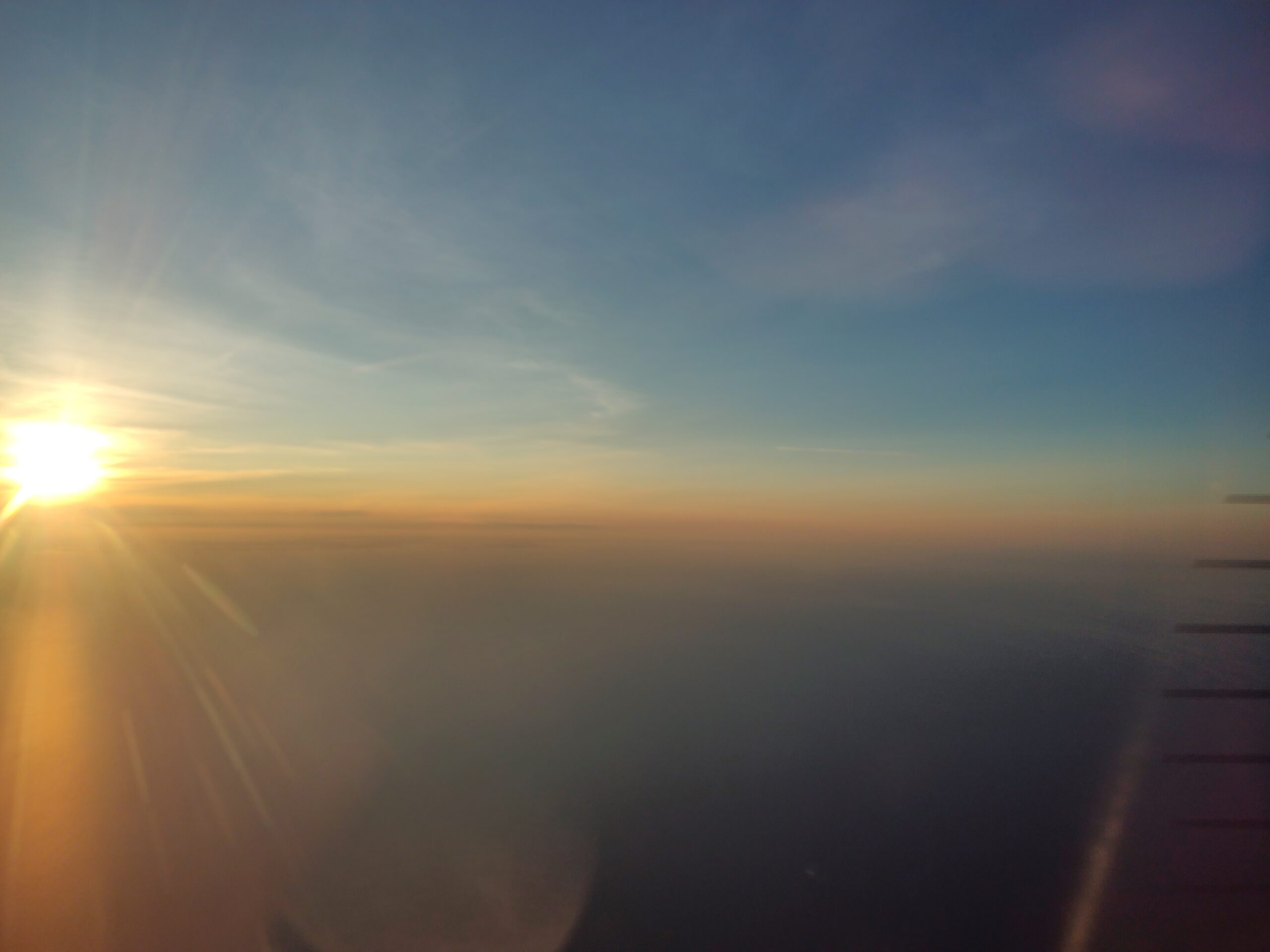
We saw some lightning in the distance and were commenting about it, but the camera didn’t really capture it.
DAY 4 – Germany to Poland
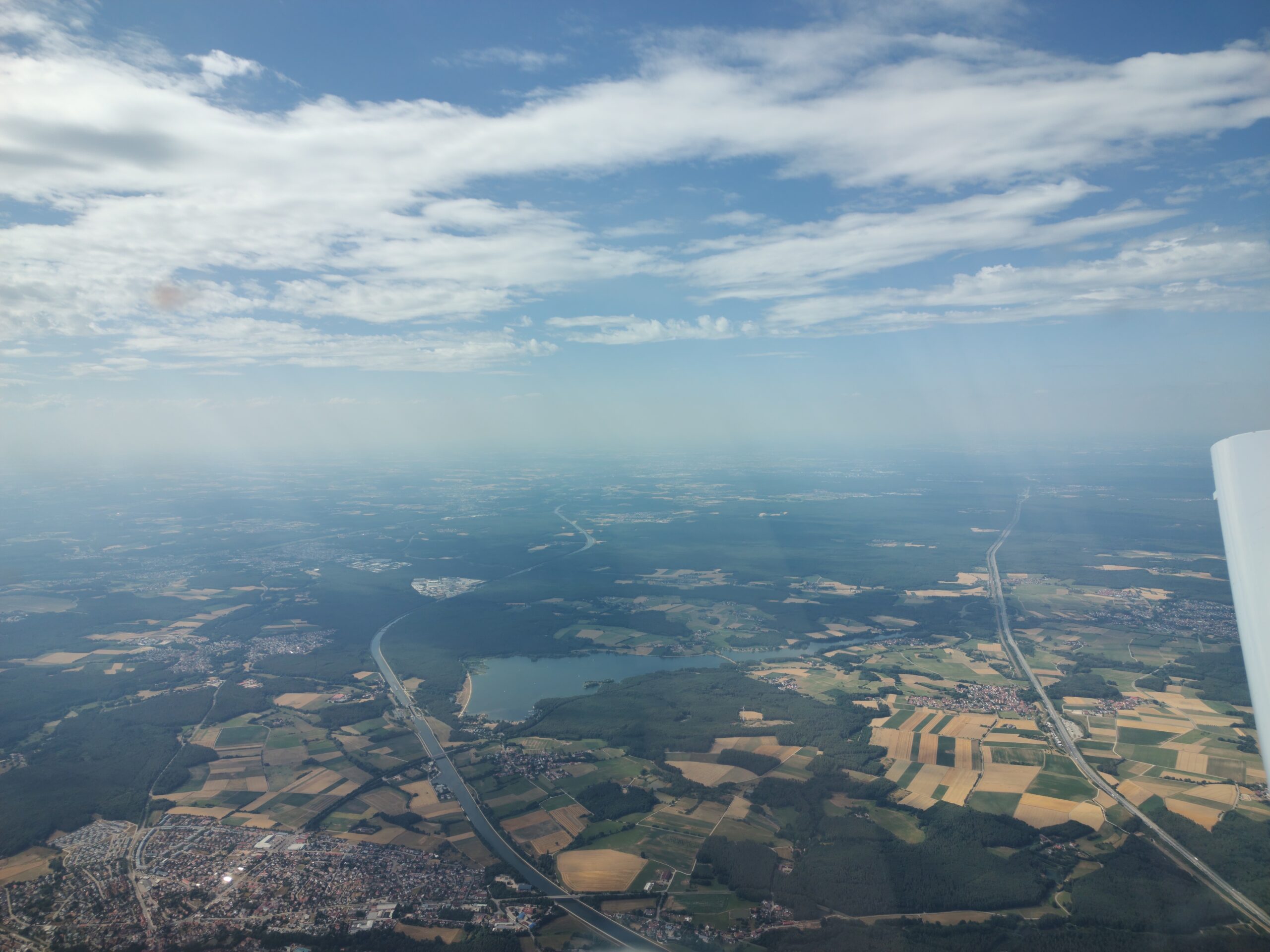
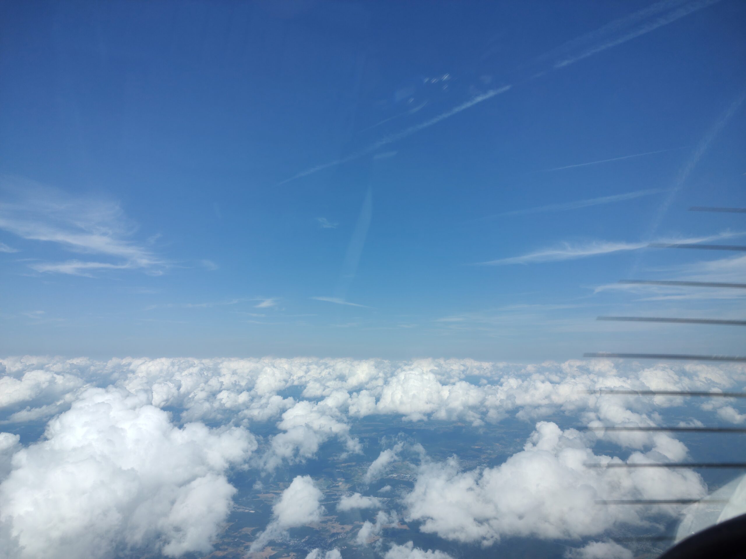
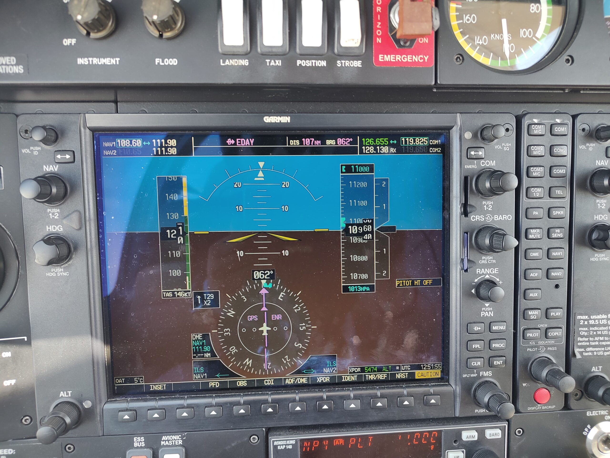
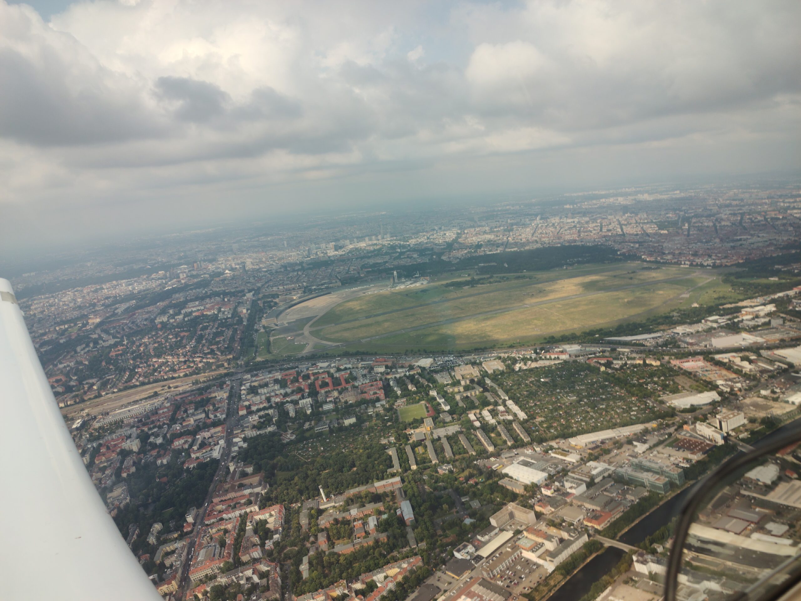
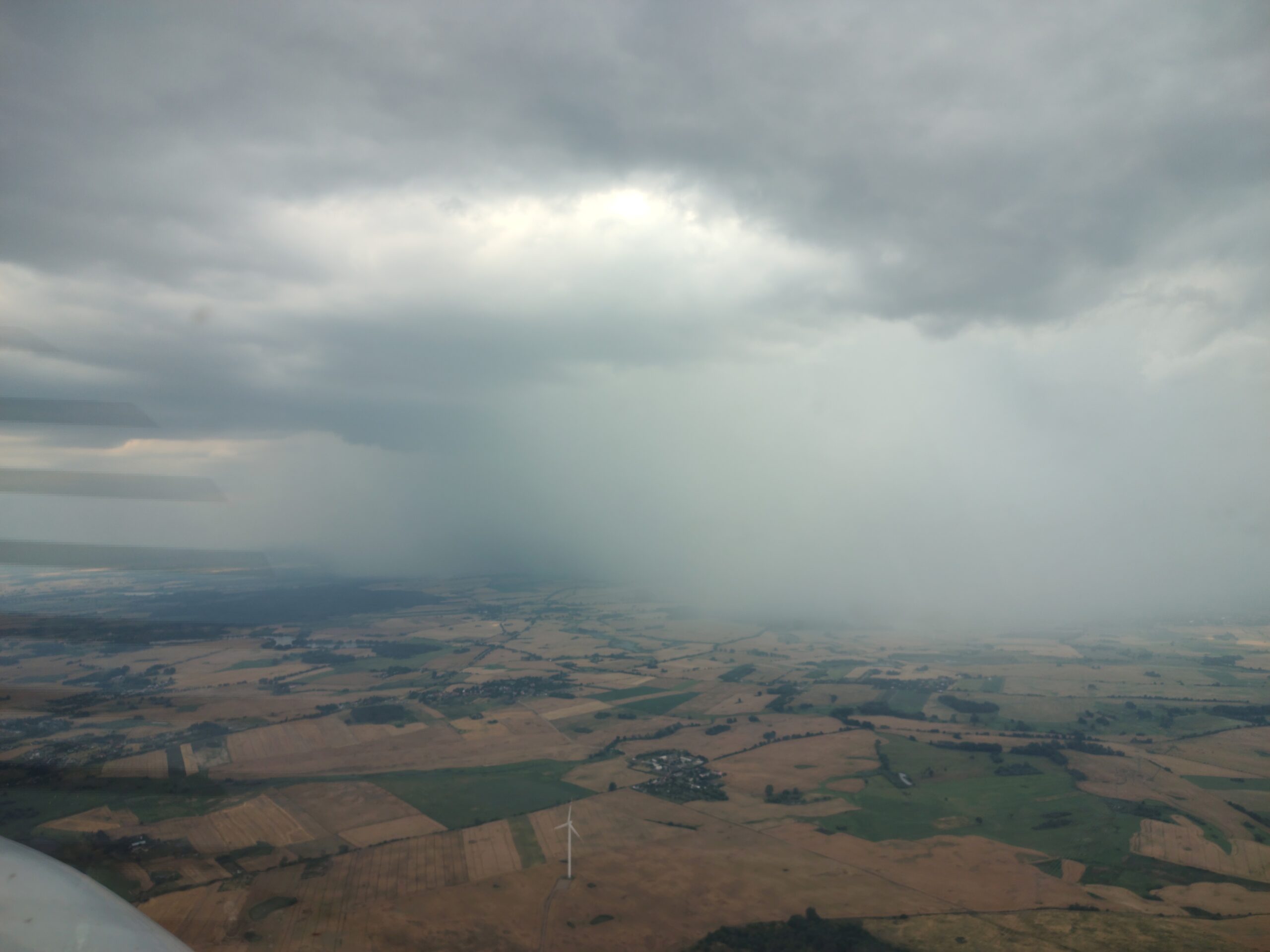
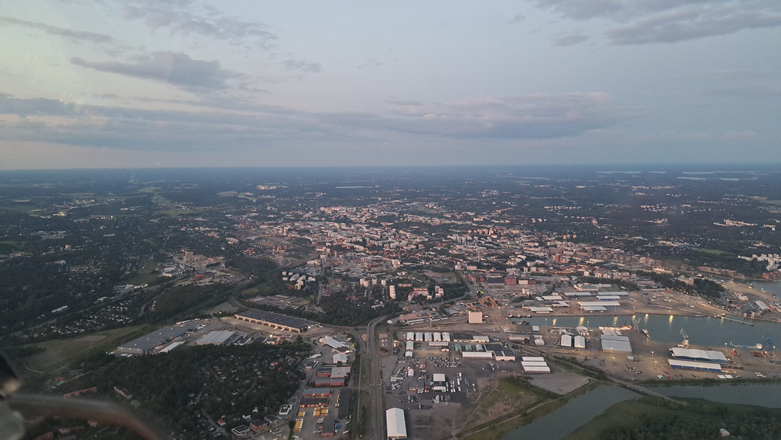
The next day, I was aiming to reach Poland where I would meet my next passenger. The weather in the morning was looking good for a refuelling stop in Berlin, but summer storms were waiting on the way and along the Polish border. Relying on the German VFR weather forecast, I requested a clearance to 11 500 feet and flew over the rainy weather in Magdeburg, catching occasional glimpses of larger towns, and the famous palace and park of Wilhemshöhe in Kassel through regular gaps in the cloud cover. With a 30 kt tailwind, the journey was a breeze, and soon I was descending back down. When nearing Berlin, I went below the Class C airspace of Berlin Branderburg Airport, flying low over the Berlin suburbs, and landed at the smaller Strausberg airport (EDAY) to refuel.

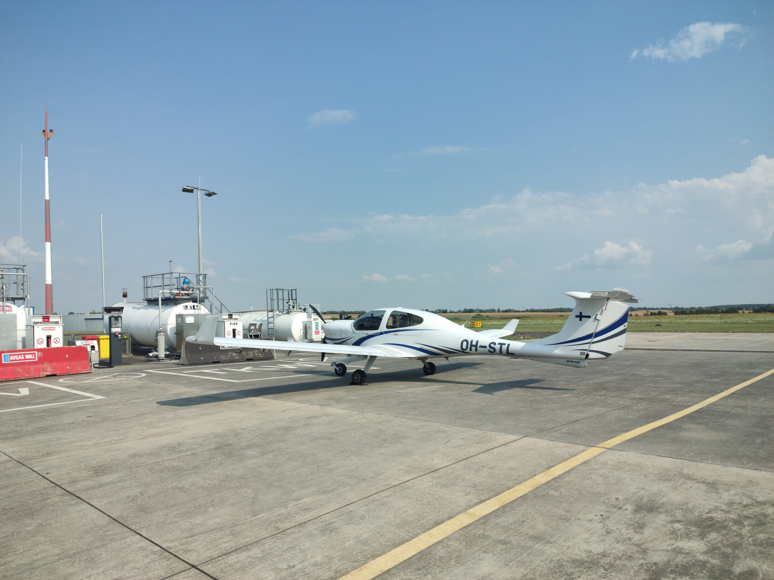
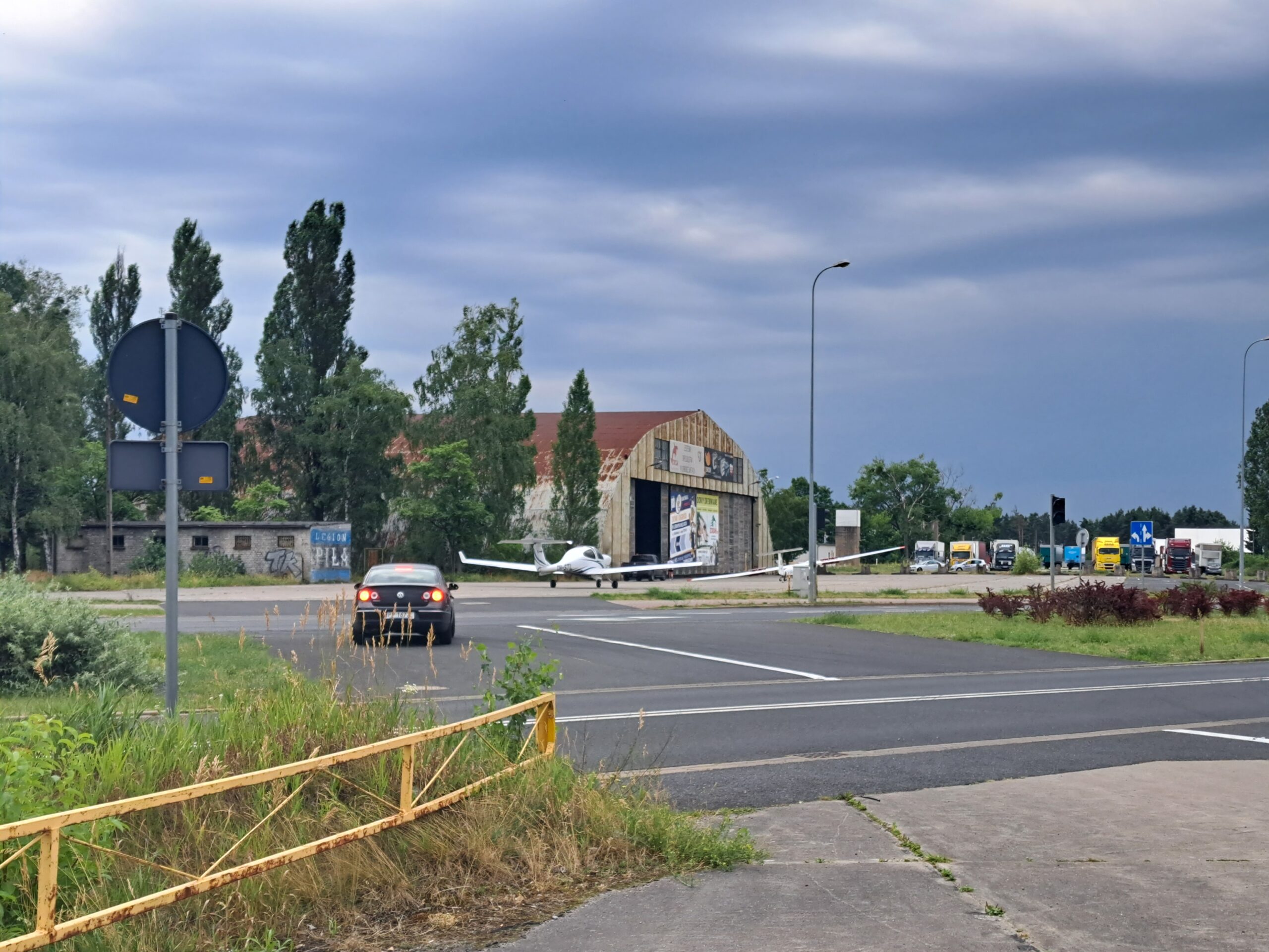
With weather worsening to the west and improving to the east, I refuelled the plane, filed a flight plan, and headed off across the Polish border, passing some small rain clouds. After half an hour, I reached the other end of the dissipating weather front, and landed on the ex-military airfield of Pila (EPPI) with clear skies overhead. The parking procedure at the Pila airfield is interesting. When the airfield was decommissioned from military use, a road was built between some of the hangars and the runway. When the airfield was later reopened by the locals for general aviation use, the road was kept in place, with special traffic lights to allow aircraft to cross. With the almost 12m wingspan of the DA40, it felt like a tight squeeze to get those low wings past the fences surrounding the road. But the locals are used to it, and I later saw an Antonov 2 pass the same spot with no issues with its 18m wings.

The local flying club helped us find a spot in the hangar, and just as we started packing STL and planes from the local club in, the winds picked up and a brief but strong shower began, ending just as abruptly ten minutes later.
DAY 5 – Baltic Sightseeing
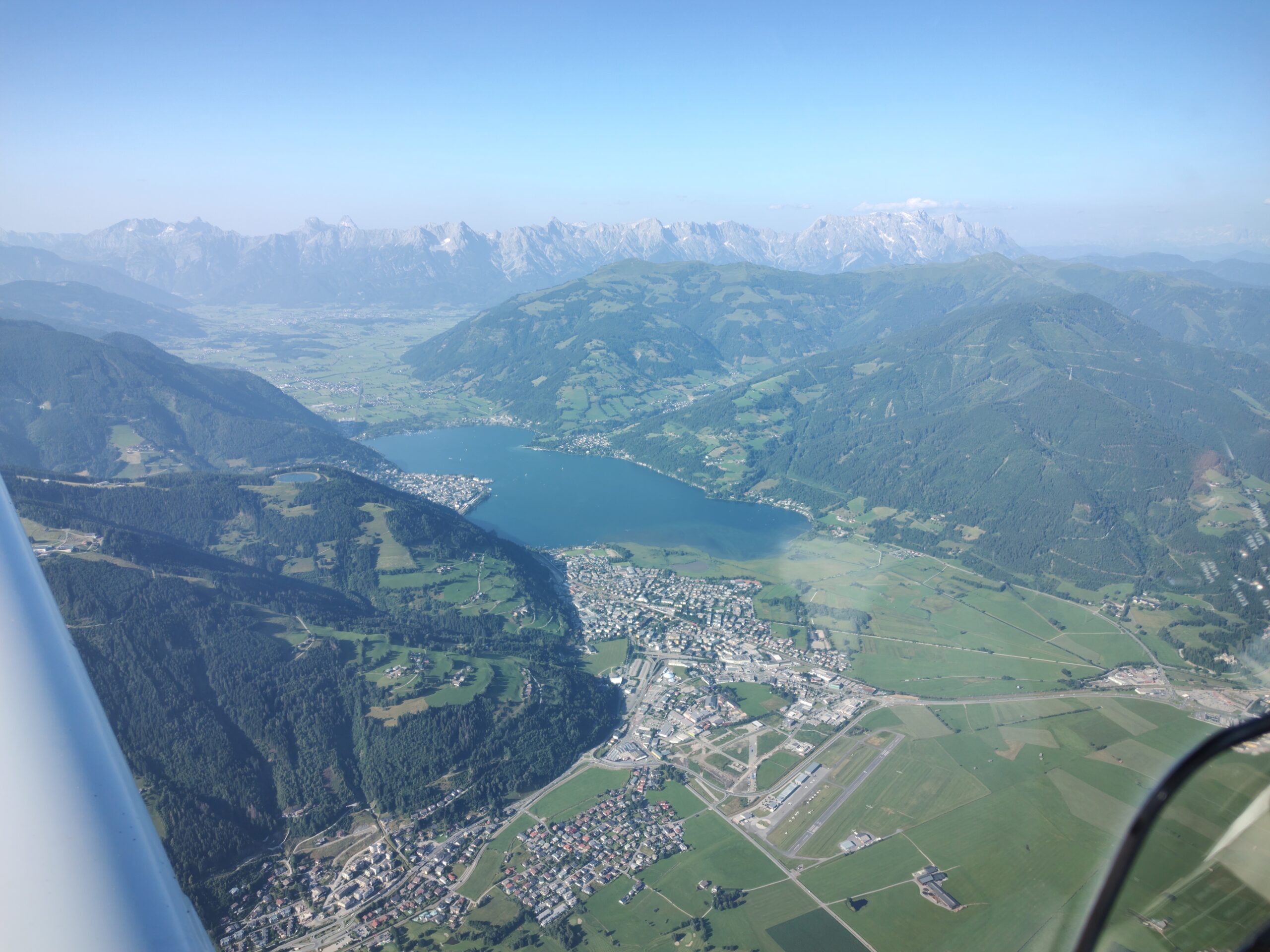
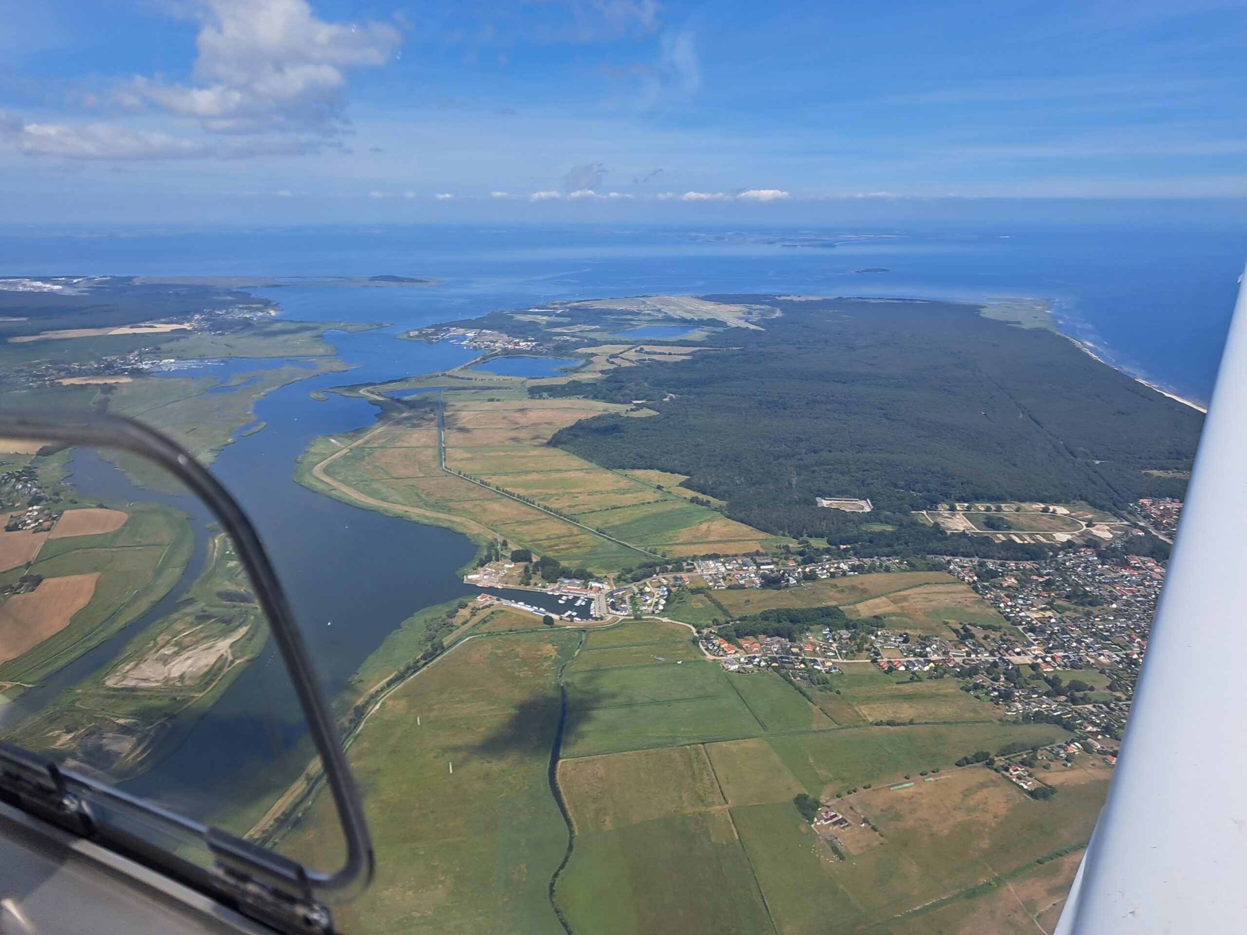
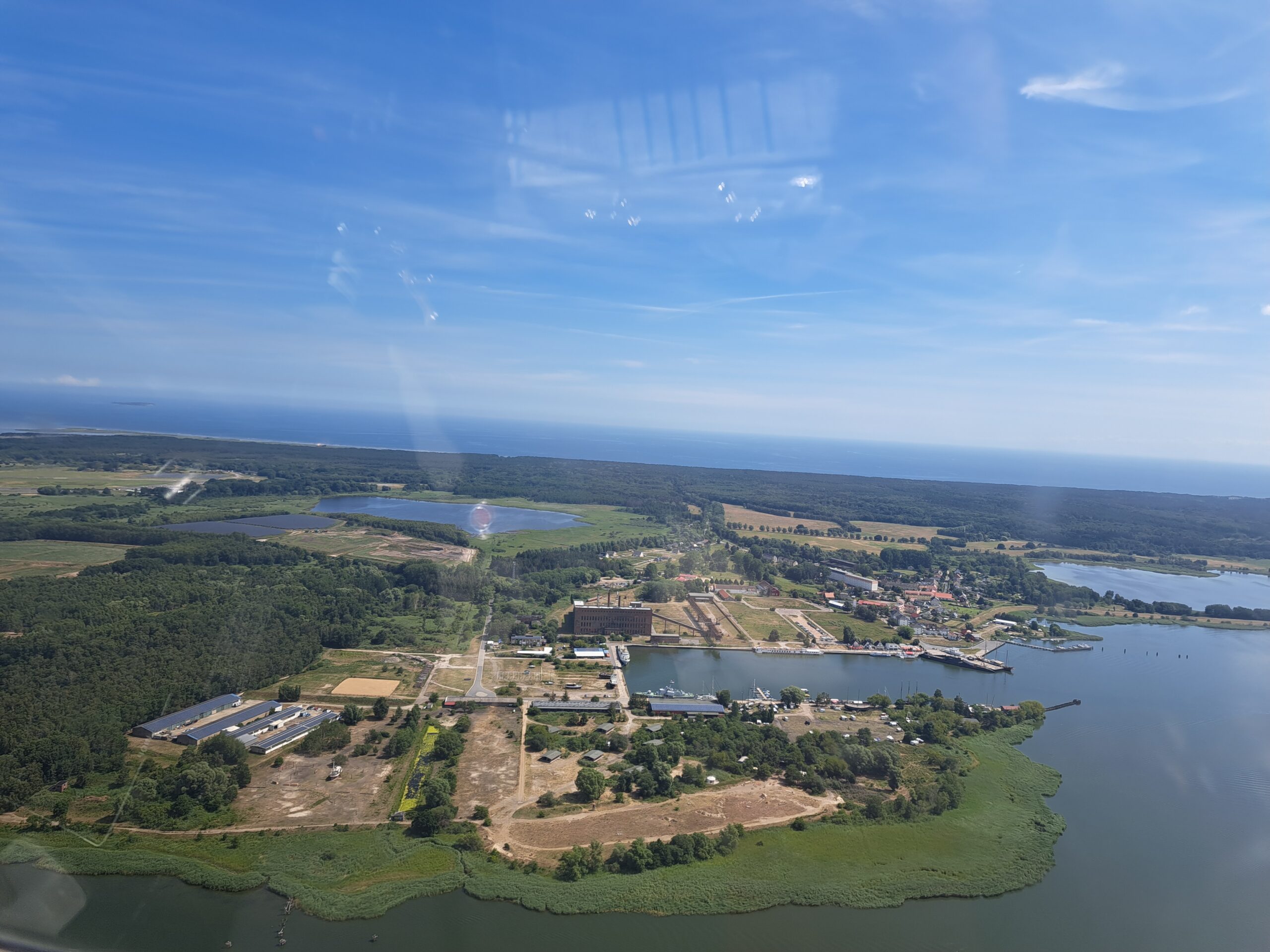
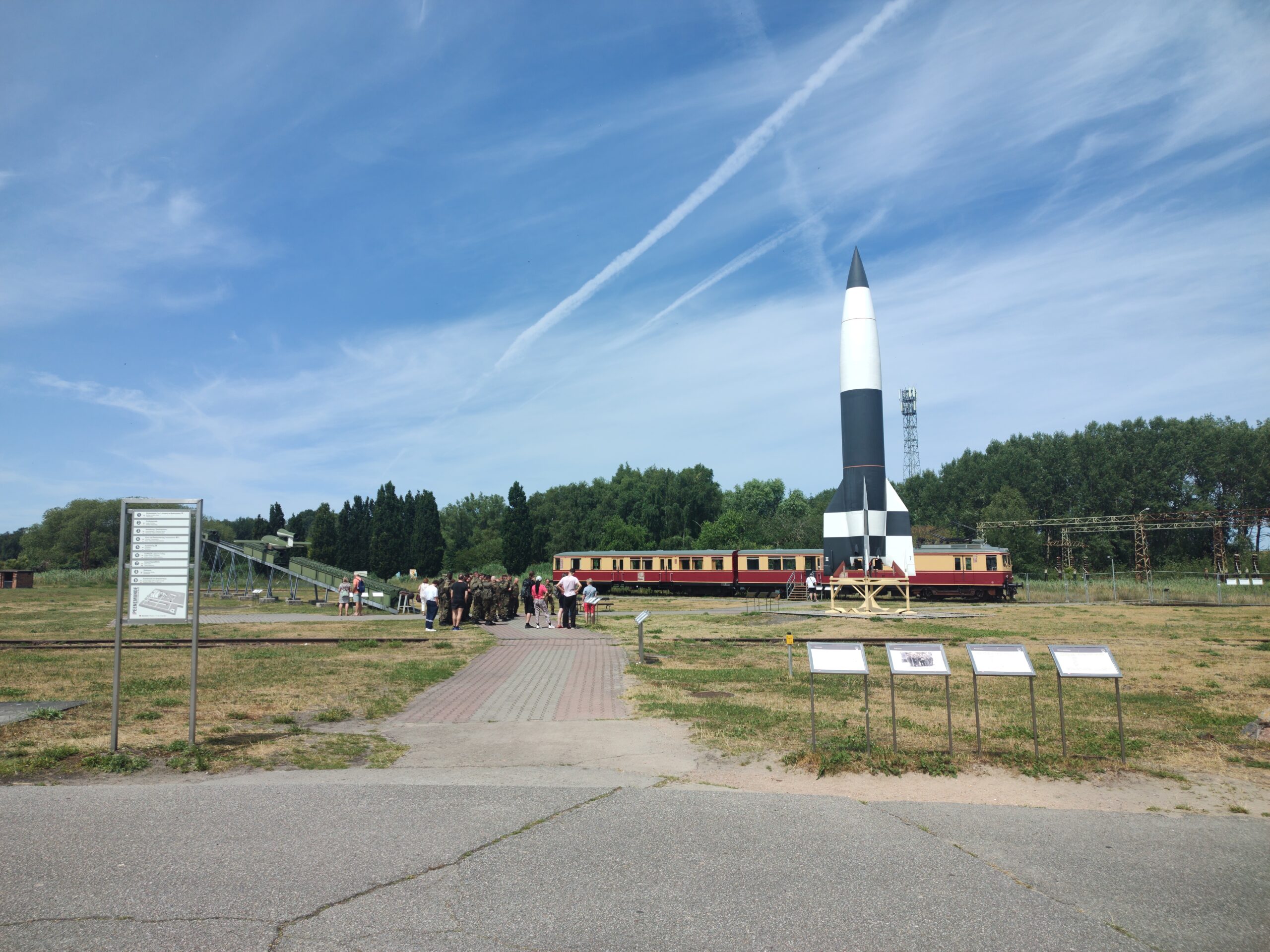
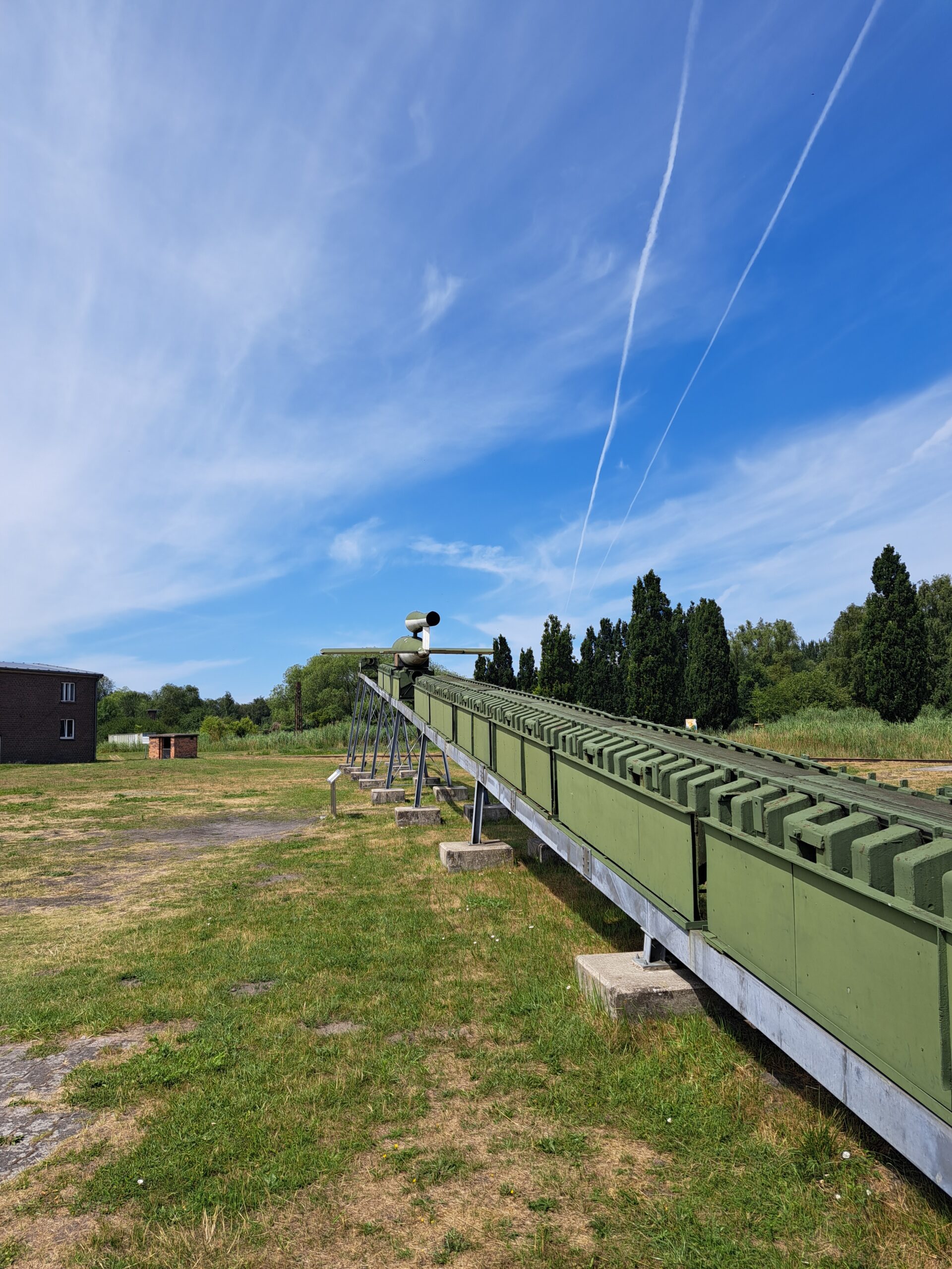
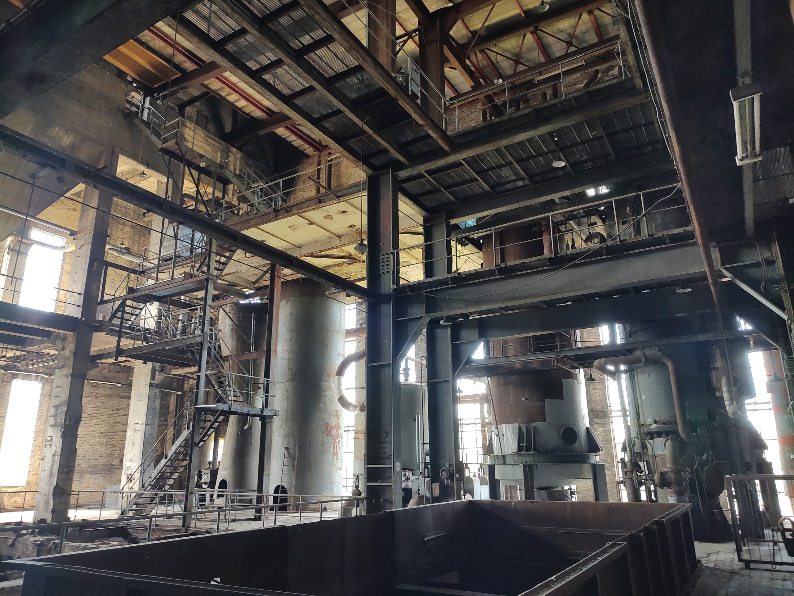
The next day I was joined by my partner, and we departed into clear weather, back towards the German border, crossing it near the sea. A short 40 minute flight brough us to Peenemunde. Once site of German rocketry development and forced labour camps in World War 2, these days it has an airfield used for test flights (EDCP), and numerous museums. Between historical museums recounting the development of the V2 rocket, a U-boat and ship museum, and the well maintained remains of a 1940s electric power plant, there is easily multiple days’ worth of things to see, all walking distance from the airfield.
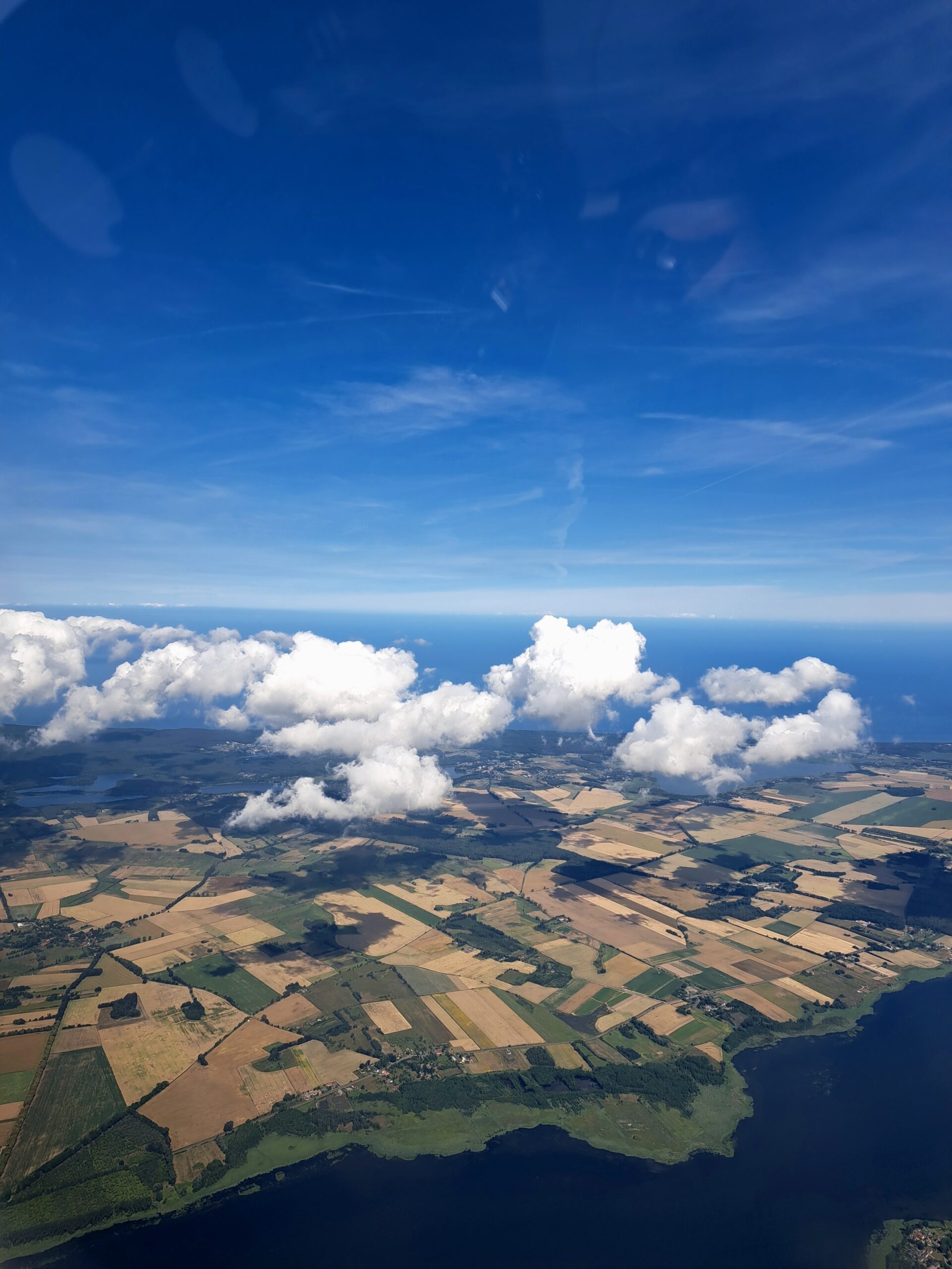
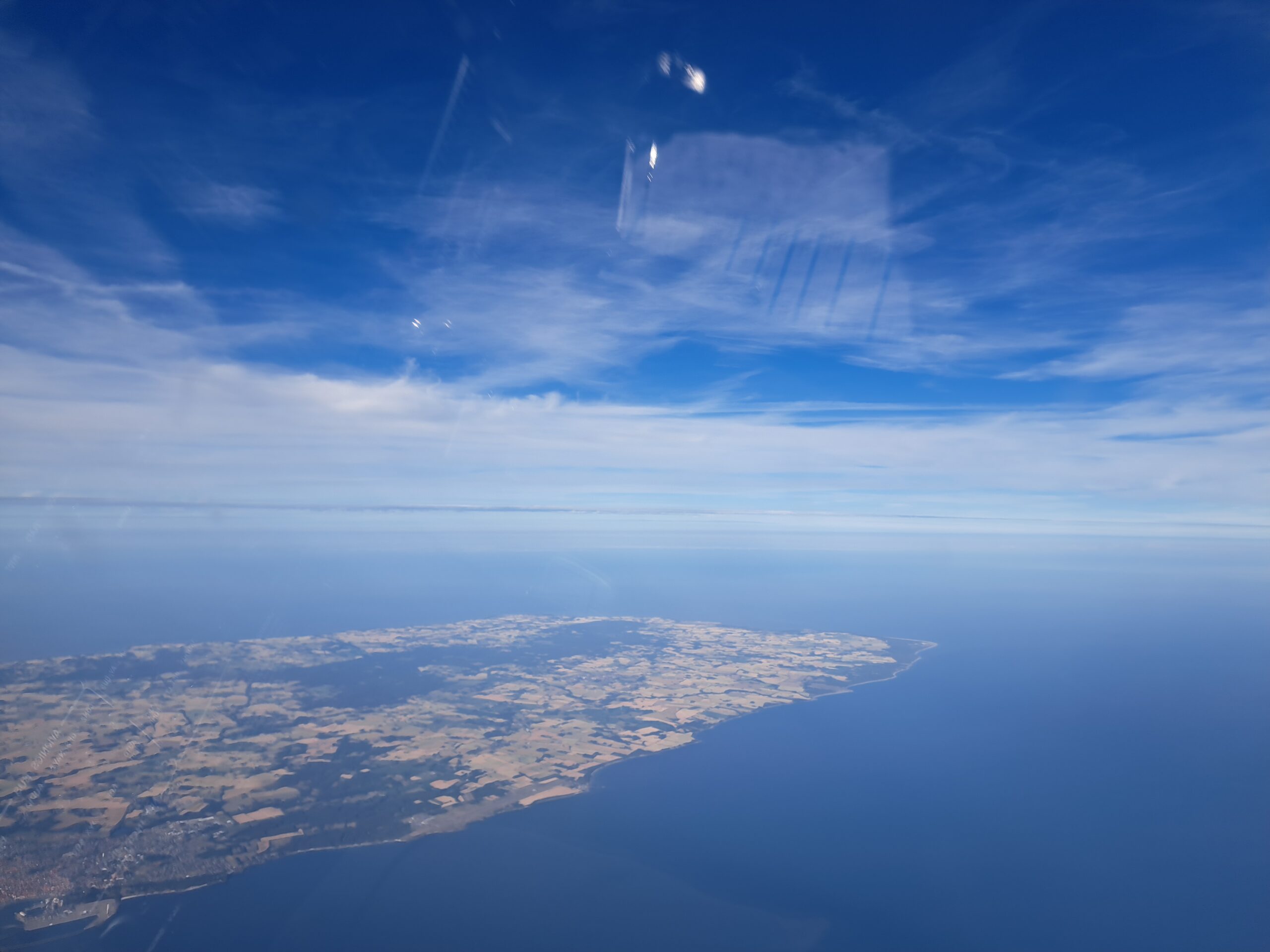
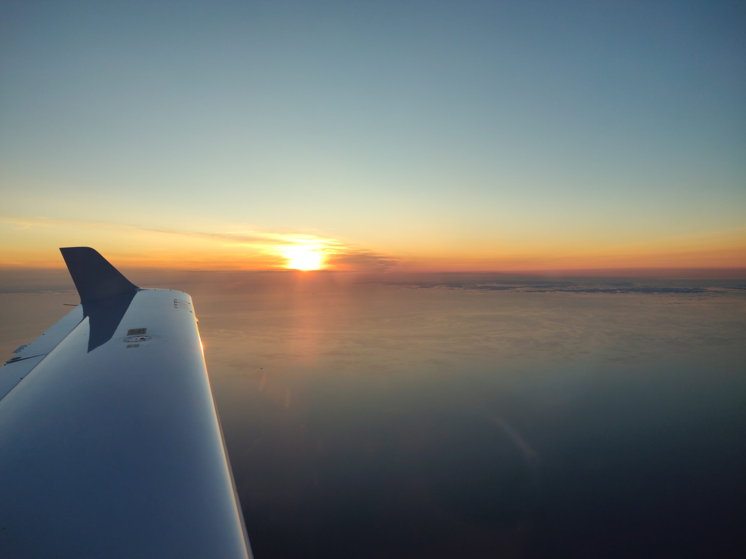
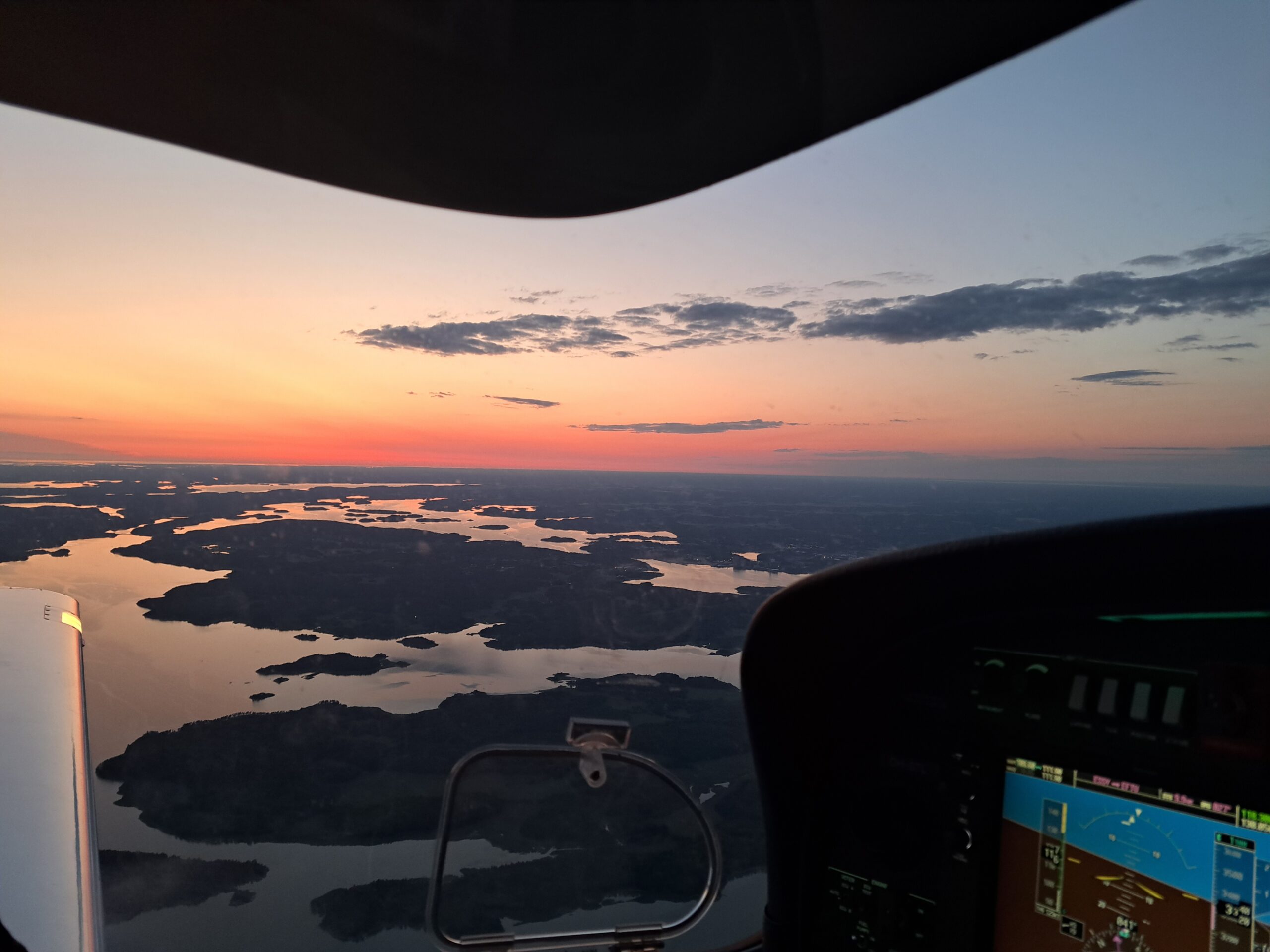
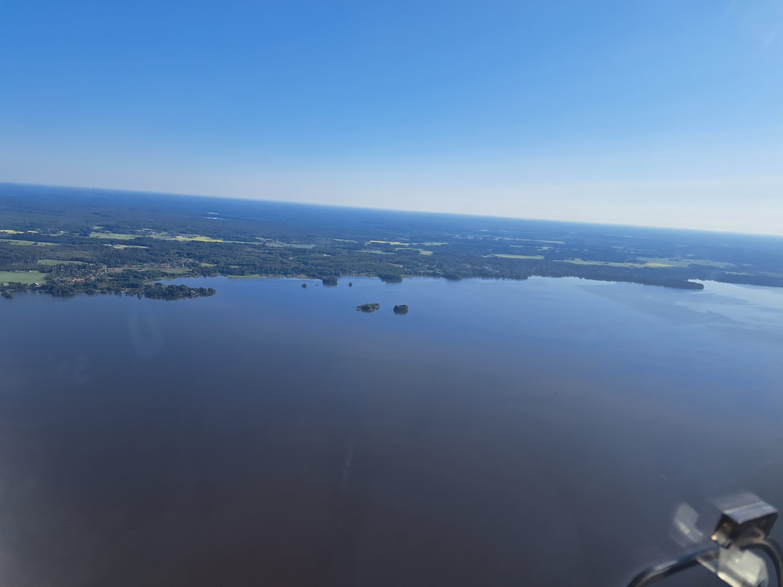
As the evening began, we headed back to the airfield, departing promptly north across the Baltic. Equipped with life vests and supplementary oxygen, we climbed to 14 000 feet over the Baltic on a course to the Swedish island of Gotland, admiring the distant coastline of the Swedish mainland. With little traffic on comms and 2 hours’ flight time, it was the perfect time to reflect on the trip so far, with my passenger falling asleep from the calm atmosphere.
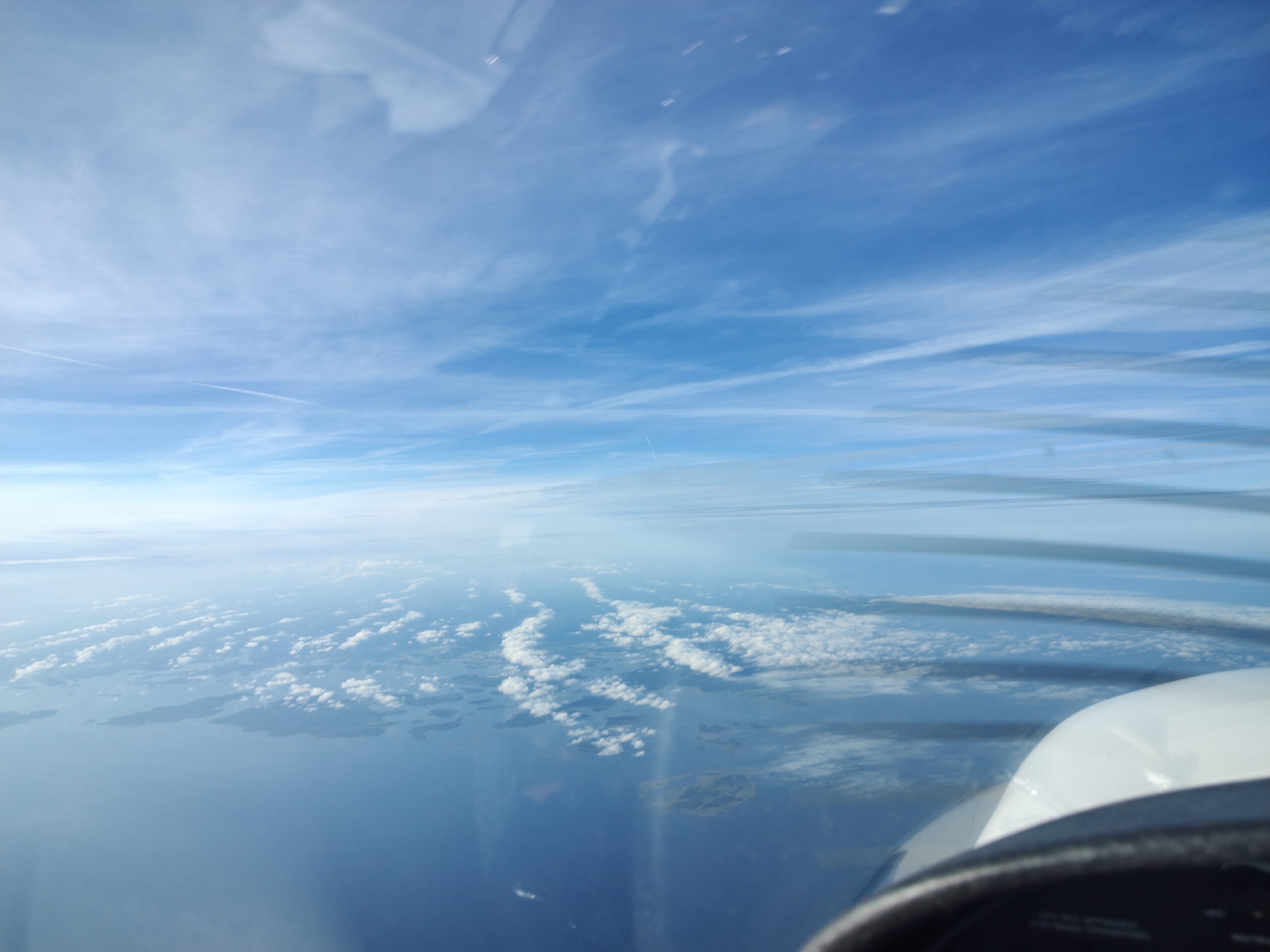
We arrived in Visby (ESSV) about an hour before their closing time, 10 minutes before a commercial flight. After refilling our tanks, we were ready to head out into the evening sky for the second to last flight of this trip, over the sea towards Turku.
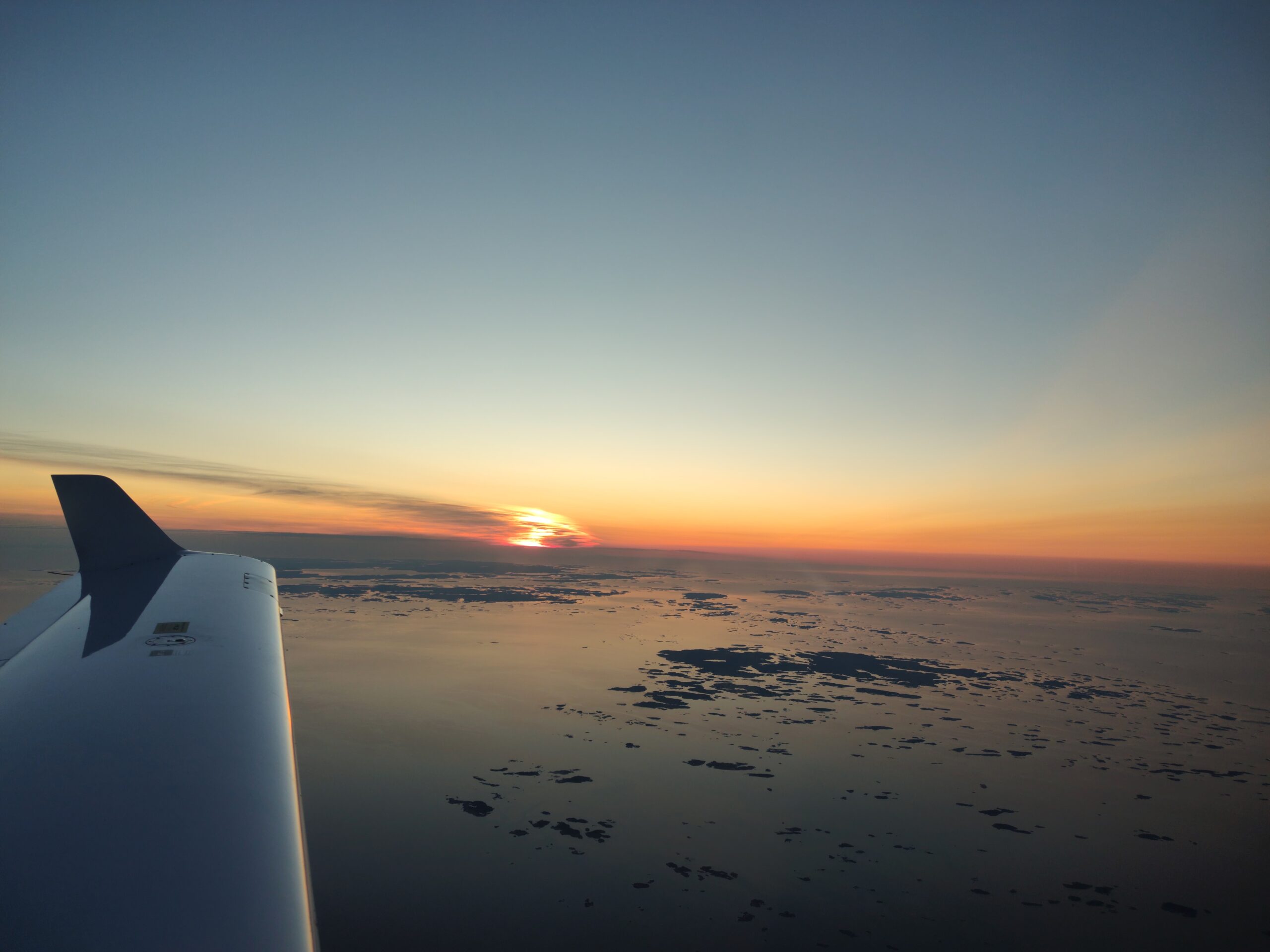
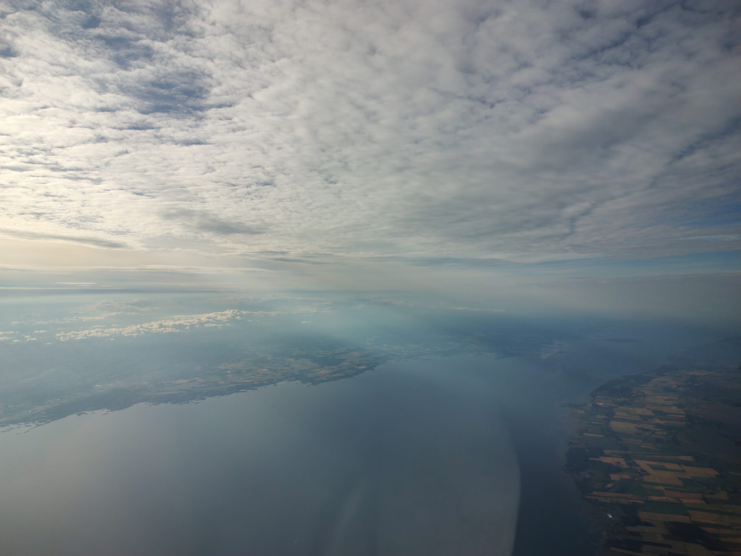
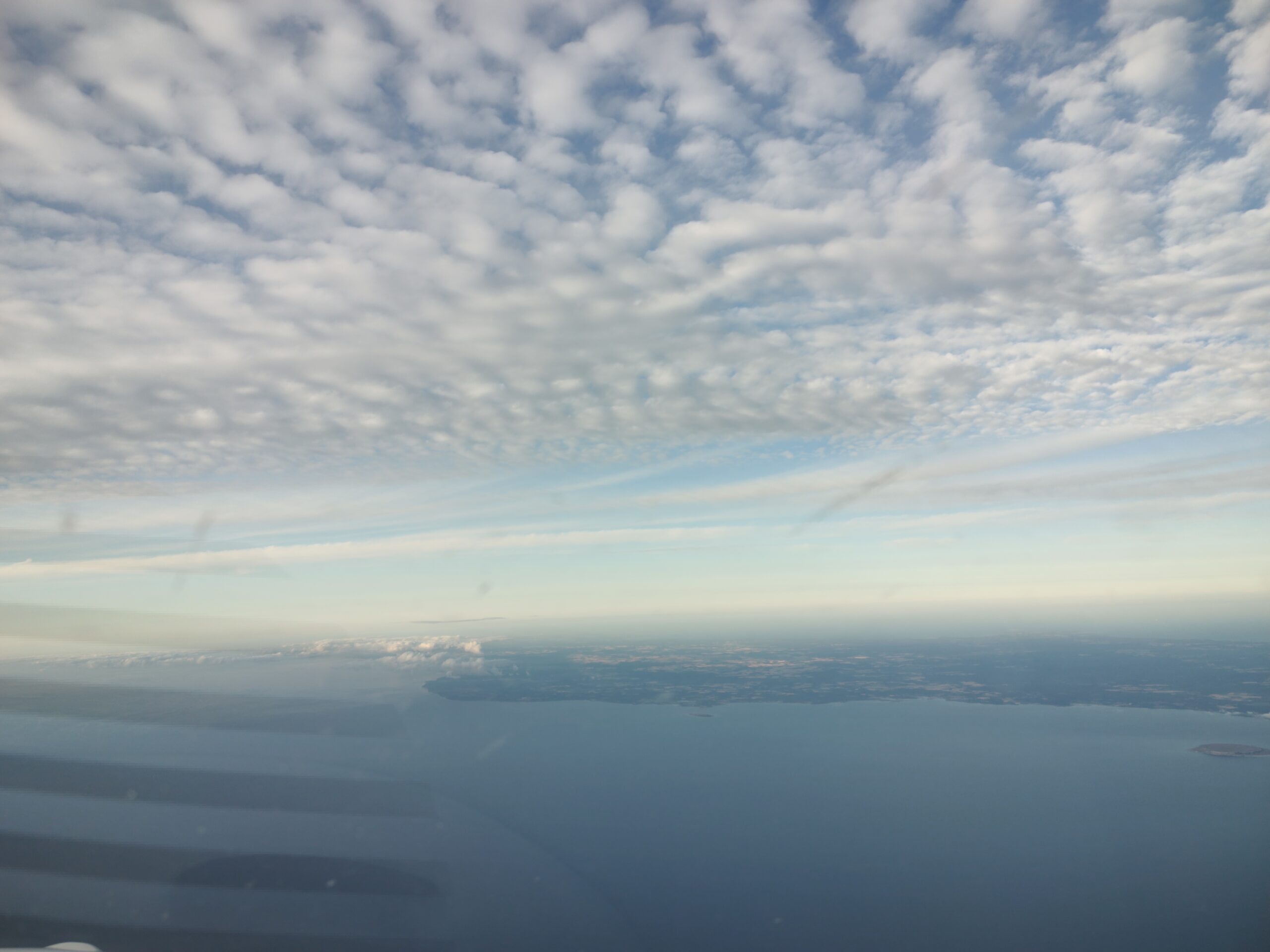
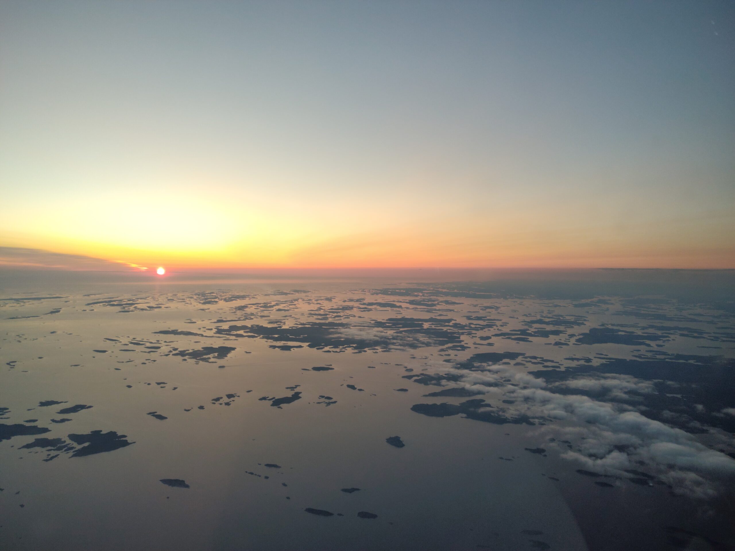
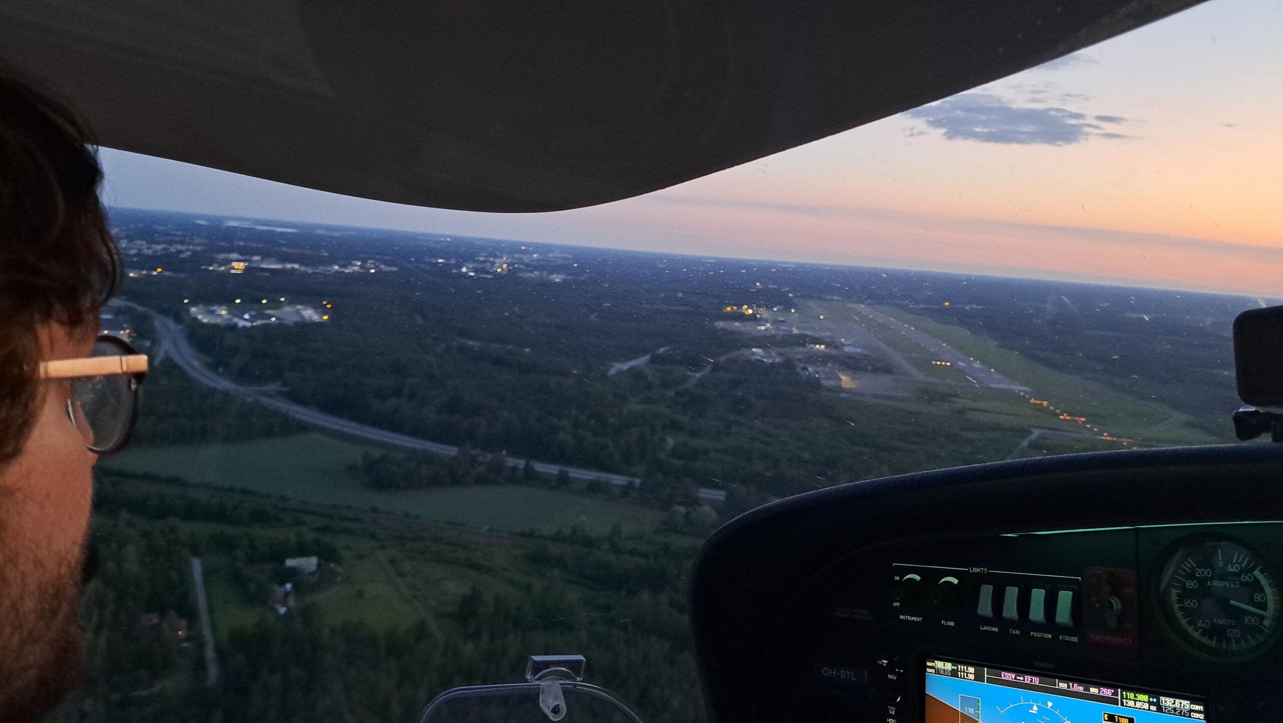
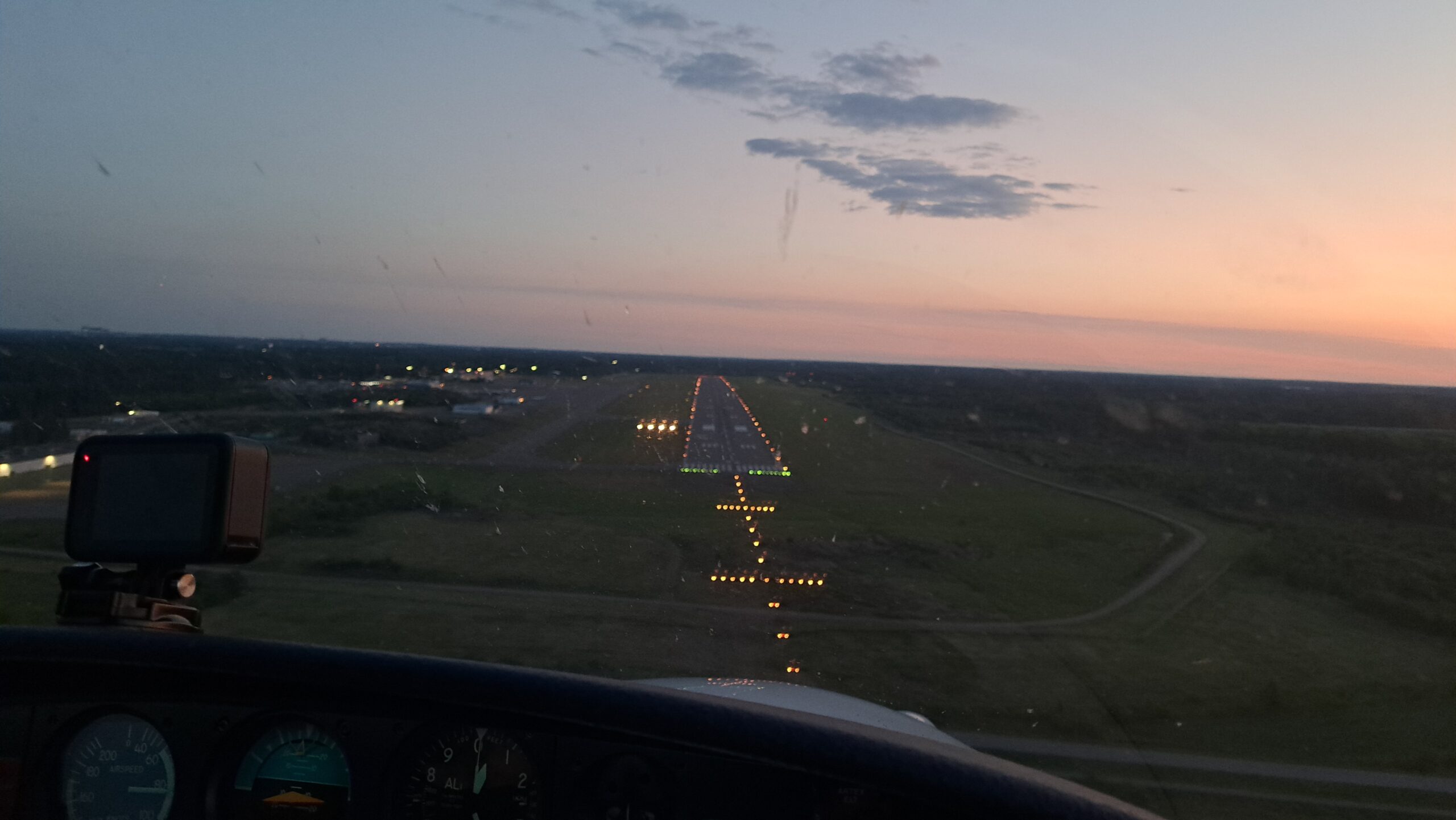
Another two hours of peaceful flight along the Swedish coast brought us back in sight of Finland, with thousands of little islands greeting us just as the sun began to set. The approach to Turku (EFTU) was done during the last minutes of sunlight, with the runway lights showing us the way. We were just in time to catch the last bus from the airport to the city.
DAY 6 – Morning maintenance
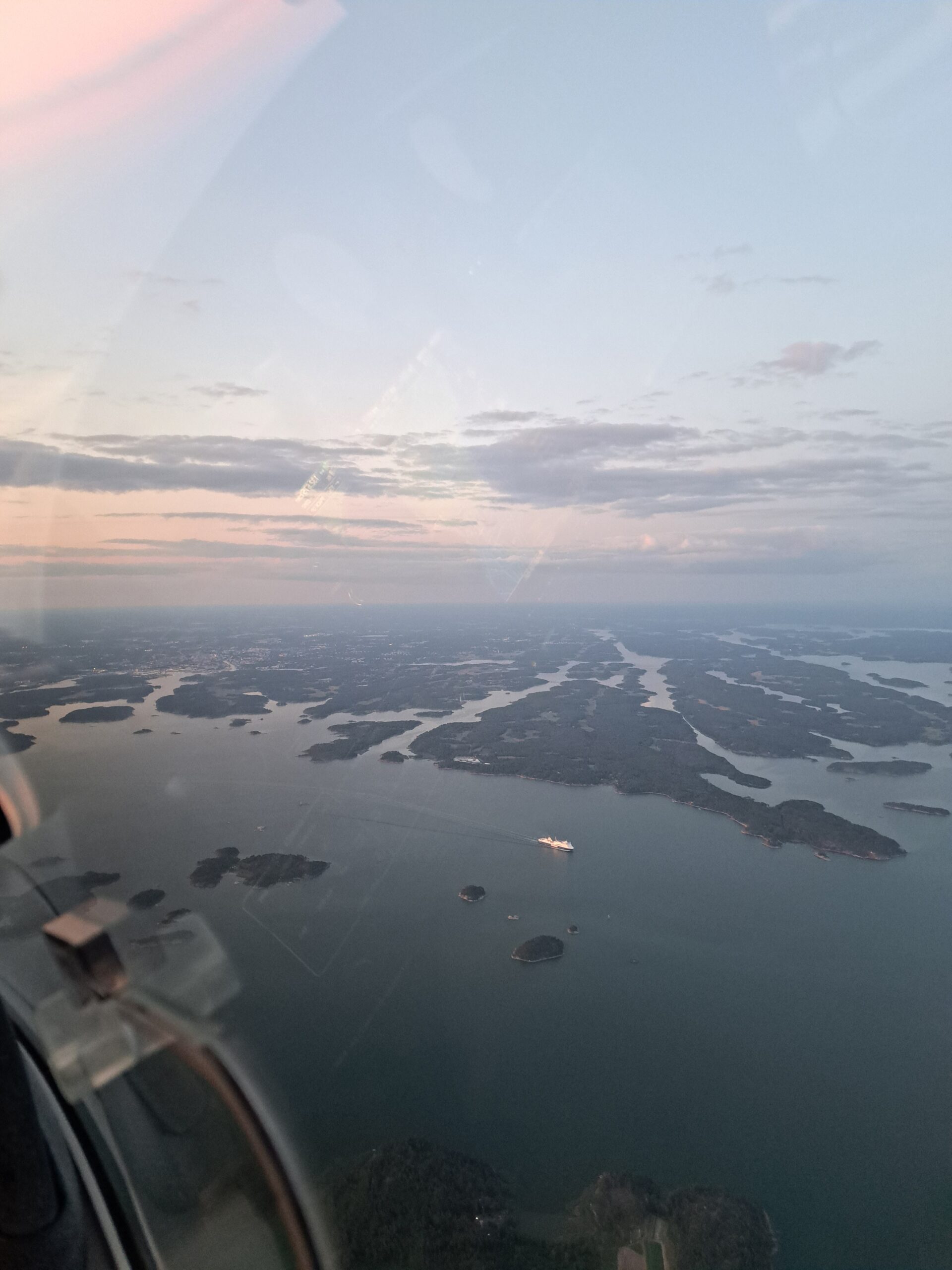
For the last flight we woke up very early, as we both needed to get to work that day, and STL needed to be delivered to the mechanic. With clear skies and calm winds, we decided to fly directly to Lahti-Vesivehma (EFLA), the maintenance base, at 1500 feet, looking out over the forests, summer cabins and trees. In exactly one hour, we landed STL at Vesivehmaa, parking her in front of the mechanic for the 100 hour inspection.
We took some time to clean the plane up, with many summer insects having left traces on the wings and canopy, packed our luggage, and headed to Helsinki by train.
Final Thoughts
This was a unique trip and an amazing opportunity to practice all of my airmanship skills, from flight planning in various terrain, following different local rules, adapting to requirements of local air traffic, flying in dynamic weather conditions, controlled airspace and unique departure/approach paths. Extended trips like this also require a lot more attention to be paid to the state of the aircraft (no relying on others in the club to clean the canopy!). The DA40 is a very pleasant plane to fly, and perfect for this sort of cross-country trip.
MiK is intending to organise a similar trip next year, with the destinations to be decided by the participants. The trip will be announced ahead of time on the website, social media and the club Whatsapp group. The club is open to anyone interested in aviation, and you do not need a license to join as a passenger (including in the front seat!), in fact none of my passengers during this trip were licensed pilots, but all got to be involved in the process. To join the trip as Pilot in Command, experience in cross-country flying and controlled airspace is recommended, but this can be easily found by renting the club planes before the trip. I for instance prepared for the Europe Tour with several cross country flights with STL to Mariehamn, Turku and Joensuu.
MiK has been an excellent club for me as hobbyist pilot, with plenty of interesting and experienced aviators to learn from and go on trips with. You can also receive your license by training with the club!
Thank you Ignaty for creating this trip report!
